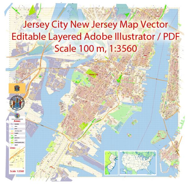
Jersey City, located in Hudson County, New Jersey, has a rich history of urban development that spans centuries. The city’s growth and transformation have been shaped by its strategic location, economic activities, immigration patterns, and changing urban landscapes. Here is an overview of the key historical developments in Jersey City’s urban history:
- Colonial Era (1600s-1700s): The area that is now Jersey City was initially inhabited by Lenape Native Americans. Dutch and English settlers arrived in the 17th century, establishing small farming communities. The region played a role in early American history, with the Battle of Paulus Hook during the American Revolution.
- Transportation Hub (1800s): In the 19th century, Jersey City’s development was significantly influenced by its role as a transportation hub. The construction of the Morris Canal and later the introduction of railroads and ferries connected Jersey City to Manhattan and other parts of the region, fostering economic growth and industrialization.
- Industrialization and Immigration (late 1800s-early 1900s): The city experienced rapid industrialization, with factories and warehouses lining the waterfront. The influx of immigrants, particularly from Europe, contributed to a diverse and vibrant urban community. The neighborhoods of Downtown and Journal Square began to take shape during this period.
- Ellis Island and Immigration (late 1800s-early 1900s): Jersey City played a crucial role in the wave of immigration through Ellis Island. Many immigrants passed through Jersey City, and some chose to settle there, contributing to the city’s cultural diversity.
- Urban Renewal (mid-20th century): Like many urban areas in the United States, Jersey City experienced urban decline and disinvestment in the mid-20th century. The decline of industrial activities and suburbanization led to population loss and economic challenges. The city government, in collaboration with federal programs, initiated urban renewal projects to revitalize certain areas.
- Waterfront Development (late 20th century): In the late 20th century, Jersey City underwent significant redevelopment, particularly along the waterfront. Former industrial sites were transformed into commercial and residential spaces, including the creation of Newport and Exchange Place. This development helped reposition Jersey City as a desirable place to live and work.
- Gentrification and Economic Growth (21st century): In recent decades, Jersey City has experienced gentrification, with the influx of young professionals and the development of upscale housing and amenities. The city’s proximity to Manhattan, improved public transportation, and a growing arts and cultural scene have contributed to its economic resurgence.
Jersey City’s urban development history is a dynamic story of economic shifts, immigration, and efforts to adapt to changing circumstances. Today, the city continues to evolve, with ongoing development projects shaping its future.


 Author: Kirill Shrayber, Ph.D. FRGS