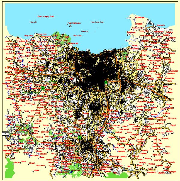
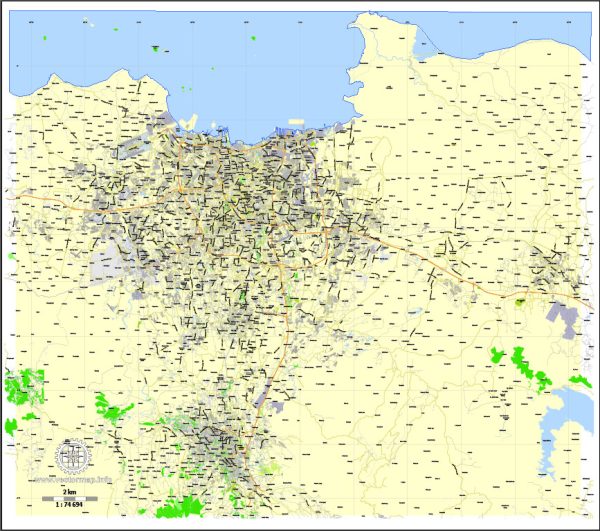
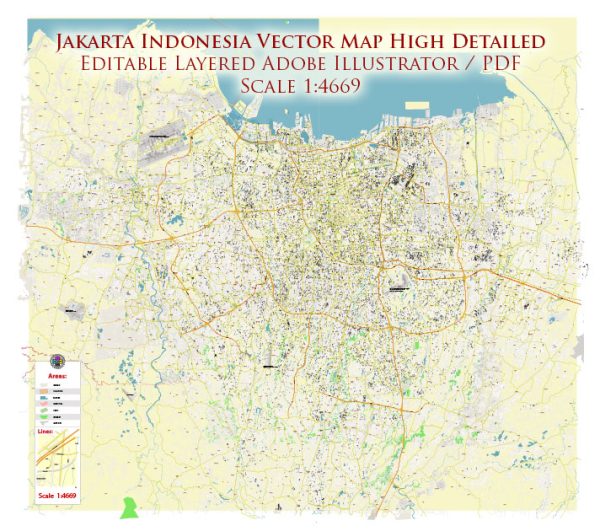
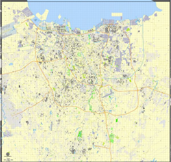
Jakarta, the capital city of Indonesia, has a rich history of urban development that spans several centuries. The city’s development has been shaped by a combination of indigenous influences, colonial rule, and contemporary urbanization trends. Here is an overview of Jakarta’s history of urban development:
- Indigenous Roots:
- Jakarta has a long history as a port city and trading hub. It was originally known as Sunda Kelapa when it was established by the Sundanese kingdom in the 5th century.
- The area later came under the influence of the Hindu-Buddhist Majapahit Empire in the 14th century.
- Colonial Era:
- The arrival of European powers, particularly the Dutch, significantly impacted Jakarta’s development. The Dutch East India Company (VOC) captured the city from the Portuguese in the early 17th century and renamed it Batavia.
- The Dutch colonial administration transformed Batavia into a strategic center for trade and governance. They developed canals, fortifications, and distinct urban planning with European-style architecture.
- Japanese Occupation and Independence:
- During World War II, Jakarta experienced Japanese occupation. After Japan’s surrender, Indonesia declared independence in 1945.
- Post-independence, Jakarta became the capital of the newly formed Republic of Indonesia. The city underwent changes in its urban structure as the new government sought to establish its identity and accommodate a growing population.
- Rapid Urbanization and Modernization:
- In the second half of the 20th century, Jakarta experienced rapid population growth due to rural-to-urban migration, leading to unplanned settlements and infrastructure challenges.
- The city underwent modernization efforts, with the construction of high-rise buildings, highways, and the establishment of new economic and financial centers.
- Challenges and Environmental Issues:
- Jakarta faces significant challenges, including traffic congestion, air pollution, and flooding. The city is prone to flooding due to its low-lying geography, compounded by rapid urbanization and poor drainage systems.
- Contemporary Urban Development:
- In recent years, Jakarta has seen ongoing efforts to address urban challenges and improve infrastructure. Projects include the construction of the Jakarta MRT (Mass Rapid Transit) system, the revitalization of waterfront areas, and initiatives to enhance public spaces.
- Smart City Initiatives:
- Jakarta has been exploring smart city initiatives to improve efficiency and quality of life for its residents. This involves the use of technology and data to address urban challenges, such as traffic management and public services.
- Cultural and Heritage Preservation:
- Efforts are also being made to preserve and showcase Jakarta’s cultural and historical heritage. Museums, historic sites, and cultural events contribute to the city’s identity and tourism.
Jakarta’s history of urban development reflects a complex interplay of cultural, historical, and economic factors. The city continues to evolve as it grapples with the challenges of rapid urbanization while striving for sustainable and inclusive development.


 Author: Kirill Shrayber, Ph.D. FRGS