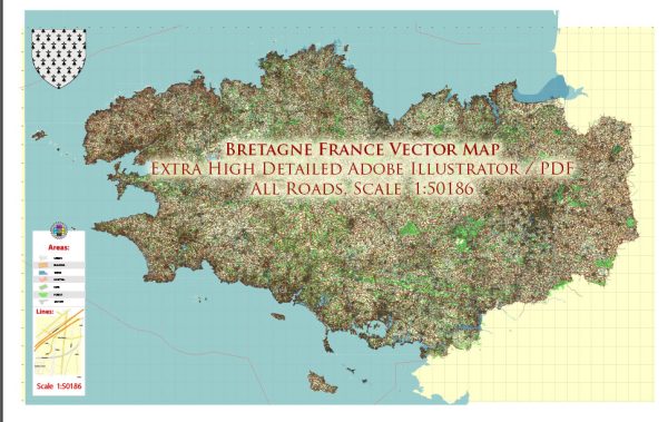
Brittany (Bretagne in French) is a region located in the northwestern part of France with a rich history of urban development. The region’s history is deeply intertwined with its Celtic heritage, Roman influence, and medieval development. Here is a brief overview of the history of urban development in Brittany:
- Celtic Origins: Brittany has a strong Celtic heritage, and the region was inhabited by various Celtic tribes before the Roman conquest. The Celts left their mark in the form of ancient settlements and fortifications, many of which can still be seen in Brittany today.
- Roman Influence: The Romans conquered Brittany in the 1st century BC and established several towns and roads, including the important city of Rennes (Condate in Latin). The Romans introduced urban planning and infrastructure, which had a lasting impact on the region.
- Medieval Development: After the fall of the Western Roman Empire, Brittany was inhabited by various Germanic tribes, and the region experienced a period of decentralization. However, during the Middle Ages, the Bretons came together to form the Duchy of Brittany, which included towns like Nantes, Vannes, and Rennes. These towns grew in importance and became centers of trade and culture.
- Fortified Cities: Many of the towns in Brittany developed as fortified cities with walls, moats, and defensive structures. These fortifications were essential during the turbulent times of the Middle Ages, as they provided protection against Viking raids and other external threats.
- Renaissance and Enlightenment: During the Renaissance and Enlightenment periods, Brittany experienced a revival of culture and trade. Cities like Nantes and Rennes saw the construction of elegant buildings, churches, and public squares. Nantes, in particular, was a major center of the transatlantic slave trade during the 18th century.
- Industrial Revolution: The 19th century brought industrialization to Brittany, leading to the growth of cities like Brest and Saint-Malo. Ports, railways, and factories played a crucial role in the development of the region’s urban areas.
- Modern Urban Development: In the 20th and 21st centuries, Brittany continued to evolve, with urban expansion, modern infrastructure, and cultural development. The region’s cities, including Nantes, Rennes, and Brest, have become important economic and cultural centers.
- Preservation of Heritage: Brittany has made significant efforts to preserve its historical urban heritage. Many medieval towns, castles, and fortifications have been maintained and restored, attracting tourists and preserving the region’s unique character.
Overall, Brittany’s history of urban development reflects its rich cultural heritage, from its Celtic origins to its Roman influence, medieval growth, and modern transformation into vibrant urban centers. The region’s cities continue to blend historical charm with modern amenities, making it a fascinating place to explore and learn about the evolution of urban life in France.


 Author: Kirill Shrayber, Ph.D. FRGS