Boston, Massachusetts, has a rich history of urban development that dates back to its founding in 1630. Over the centuries, it has evolved from a small colonial town into a major American city, playing a significant role in the country’s history and urban development. Here’s an overview of Boston’s urban development history:
- Colonial Era (17th-18th Century):
- Boston was founded by Puritans in 1630 and quickly grew as a major port and trading center in the American colonies.
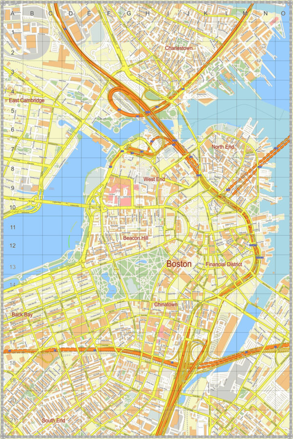
- The city’s layout was characterized by narrow, winding streets that still exist in the historic districts of Boston, such as the North End.
- Revolutionary Period (18th Century):
- Boston was at the heart of the American Revolution, with events like the Boston Tea Party (1773) and the Battle of Bunker Hill (1775) taking place in the city.
- The war had a significant impact on the city’s development, leading to the destruction of some areas.
- 19th Century:
- Boston experienced significant growth during the 19th century as industrialization and immigration fueled population expansion.
- Land reclamation projects, like the filling of Back Bay and South End, expanded the city’s footprint.
- The development of public parks, including the famous Boston Common and the Emerald Necklace, was initiated during this period.
- The construction of transportation infrastructure, like railroads and streetcar lines, facilitated suburban expansion.
- 20th Century:
- The early 20th century saw continued growth and development, with landmarks like the Custom House Tower and the Prudential Tower contributing to the city’s skyline.
- The Big Dig, a massive highway and tunnel construction project, transformed the city’s transportation infrastructure in the late 20th century.
- The demolition of the elevated Central Artery and the creation of the Rose Kennedy Greenway opened up new urban development opportunities.
- Modern Era:
- Boston has experienced a renaissance in urban development, with a focus on mixed-use developments, pedestrian-friendly streets, and green spaces.
- Neighborhoods like the Seaport District and the Innovation District have seen significant growth and development.
- Efforts have been made to preserve and restore historic landmarks and districts, including the Freedom Trail, Beacon Hill, and the North End.
- Public Transportation:
- Boston’s public transportation system, known as the “T,” has evolved over the years to include subway, bus, and commuter rail services.
- The Massachusetts Bay Transportation Authority (MBTA) plays a crucial role in connecting the city and its suburbs.
- Preservation and Revitalization:
- Boston places a strong emphasis on preserving its historical and architectural heritage while allowing for modern development.
- Adaptive reuse of historic buildings and brownstone renovations are common in many neighborhoods.
- Urban Planning and Sustainability:
- Boston has made efforts to enhance sustainability through initiatives like improving public transit, increasing green spaces, and reducing carbon emissions.
In summary, Boston’s urban development history reflects the city’s growth from a colonial settlement to a major American city. It has faced various challenges and opportunities over the centuries, resulting in a diverse urban landscape that blends historic charm with modern development.

 Author: Kirill Shrayber, Ph.D.