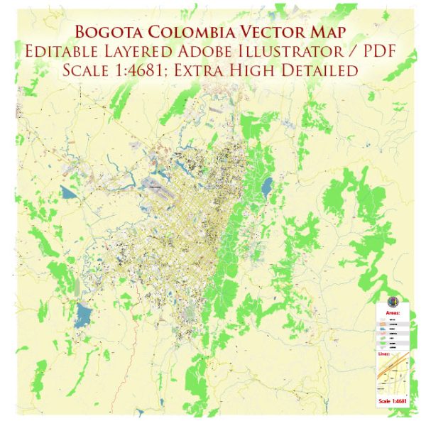
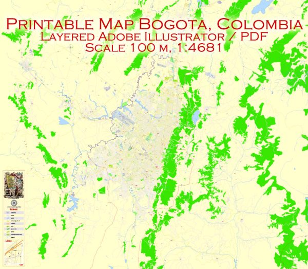
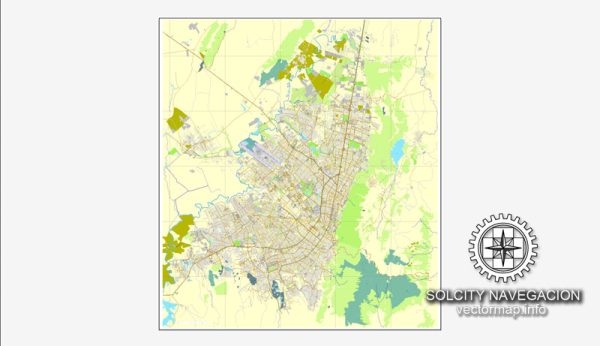
Bogotá, the capital of Colombia, has a rich history of urban development that dates back to pre-Columbian times. Here’s a brief overview of its urban development history:
- Pre-Columbian Era: Before the arrival of the Spanish conquistadors in the early 16th century, the Bogotá region was inhabited by indigenous peoples, including the Muisca. They had well-organized societies and cities, such as Bacatá, which was one of the largest and most important in the area. These indigenous settlements had advanced systems of agriculture and trade.
- Spanish Conquest and Colonial Period (1538-1810): The Spanish conquistadors, led by Gonzalo Jiménez de Quesada, established the city of Santa Fe de Bogotá on August 6, 1538. This marked the beginning of Bogotá as a Spanish colonial city. The city became the political and administrative center of the New Kingdom of Granada. It went through various architectural and infrastructural changes during the colonial period, with the construction of churches, monasteries, and other colonial-style buildings. The city was an important hub for trade and governance within the Spanish Viceroyalty of Peru.
- Independence and Republican Era (1810-1886): Bogotá played a significant role in Colombia’s fight for independence from Spain, and it was the site of key events in the struggle for freedom. The city’s urban development continued during the early years of the Republic, with the construction of government buildings, plazas, and avenues. In 1830, Bogotá became the capital of the newly formed Republic of New Granada, later known as the Granadine Confederation and then the United States of Colombia.
- Modernization and Growth (1886-20th Century): In 1886, with the creation of the Republic of Colombia, Bogotá was confirmed as the nation’s capital. The late 19th and early 20th centuries saw significant urban development, including the introduction of streetcars and the expansion of infrastructure. The city’s population grew steadily, and this era witnessed the emergence of new neighborhoods and public spaces.
- Urban Planning and Modernization (20th Century): Bogotá experienced further urban development during the 20th century. In the mid-20th century, the city underwent modernization efforts that included the construction of major roads and highways, as well as the establishment of new residential areas. The city’s population continued to grow, leading to the development of suburban neighborhoods.
- Contemporary Urban Development: In recent decades, Bogotá has faced various urban challenges, including rapid population growth, traffic congestion, and environmental concerns. The city has implemented a series of urban planning and infrastructure projects to address these issues. Notably, Bogotá has gained recognition for its TransMilenio bus rapid transit system, the development of bike lanes, and the creation of public spaces like Simon Bolivar Park.
Throughout its history, Bogotá has evolved from a pre-Columbian settlement to a bustling metropolis with a mix of historical and modern architecture. Its urban development reflects the city’s rich cultural heritage and its ongoing efforts to adapt to the changing needs of its residents.


 Author: Kirill Shrayber, Ph.D. FRGS