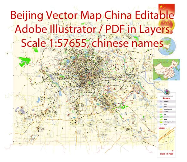
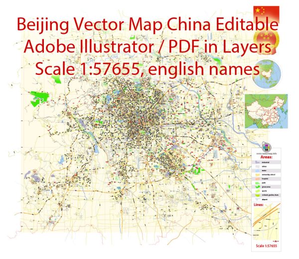
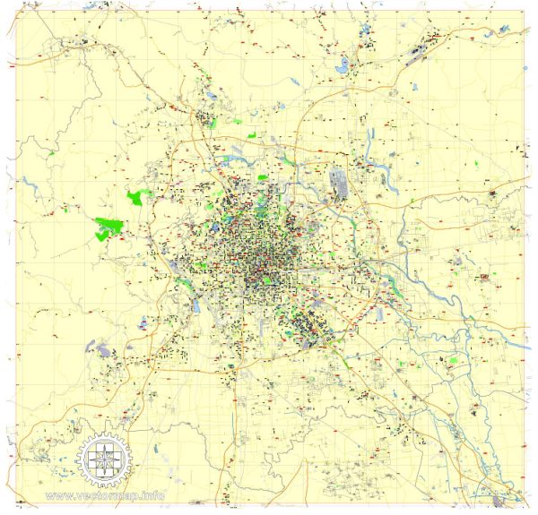
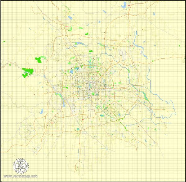
The history of urban development in Beijing, China, is a rich and complex one that spans over two millennia. The city has evolved from a small settlement into the sprawling metropolis it is today. Here is a brief overview of Beijing’s urban development history:
- Ancient Origins: Beijing’s history dates back to at least the Warring States period (476-221 BC), when it was known as Ji, serving as a strategic military and trade hub. It later became the capital of the state of Yan during the Han Dynasty (206 BC – 220 AD). In 938 AD, it was renamed “Beijing,” which means “Northern Capital,” during the Liao Dynasty.
- Imperial Capital: Beijing first became the capital of a unified China during the Yuan Dynasty (1271-1368) when it was established by the Mongol ruler Kublai Khan. It continued as the capital through the Ming Dynasty (1368-1644) and the Qing Dynasty (1644-1912). The city saw the construction of numerous iconic landmarks, including the Forbidden City, the Temple of Heaven, and the Summer Palace.
- Modernization and Foreign Influence: In the late 19th and early 20th centuries, Beijing underwent significant changes due to foreign influence and the impact of the Boxer Rebellion. The city became a center of diplomatic activity, leading to the construction of legation quarters and foreign concessions.
- Republican Era: After the fall of the Qing Dynasty in 1912, Beijing was the capital of the Republic of China. This period saw attempts at modernization and the construction of infrastructure such as the first railway.
- Occupation and War: During World War II, Beijing was occupied by Japanese forces, and it experienced significant destruction. After the war, the city returned to Chinese control.
- Communist Rule: In 1949, Beijing became the capital of the People’s Republic of China. Under Communist rule, the city underwent extensive urban planning and development projects, including the construction of Tiananmen Square, the Great Hall of the People, and the sprawling residential areas surrounding the city center.
- Economic Reform and Growth: Starting in the late 20th century, Beijing experienced rapid economic growth and urban expansion. The development of modern skyscrapers, extensive transportation networks, and the 2008 Beijing Olympics further transformed the city.
- Environmental and Urban Challenges: The rapid urbanization and industrialization of Beijing brought about challenges related to pollution, traffic congestion, and the preservation of historical sites. The government has implemented measures to address these issues and promote sustainable urban development.
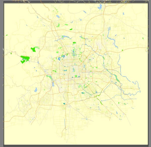
- Contemporary Beijing: Today, Beijing is a bustling metropolis, known for its rich cultural heritage, modern architecture, and global significance. It remains China’s political, cultural, and economic center and hosts numerous world-class institutions, including the Beijing Capital International Airport, the Beijing Olympic Park, and the Beijing Daxing International Airport.
The history of Beijing’s urban development is a reflection of China’s evolution over the centuries, from an ancient capital to a thriving modern city with a unique blend of tradition and progress. The city’s story continues to evolve as it plays an essential role on the world stage.

 Author: Kirill Shrayber, Ph.D. FRGS