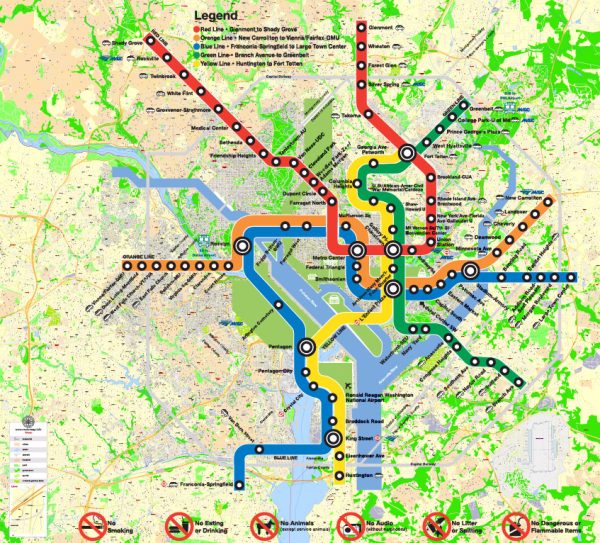
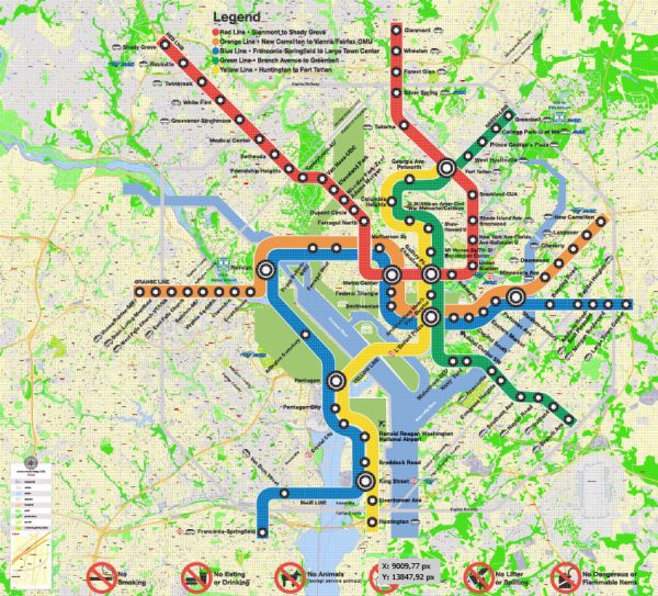
Washington, D.C. and Arlington, Virginia offer a variety of beautiful natural parks and green spaces for residents and visitors to enjoy. Here are some notable options:
- Rock Creek Park (Washington, D.C.):
- Located in the heart of the nation’s capital, Rock Creek Park is a vast urban oasis that offers hiking trails, picnic areas, and opportunities for bird-watching. The park follows the course of Rock Creek, providing a serene escape from the city’s hustle and bustle.
- Theodore Roosevelt Island (Washington, D.C.):
- This island in the Potomac River is a tribute to the 26th U.S. President, Theodore Roosevelt. It features a network of hiking trails and a boardwalk that winds through a swampy, natural habitat. The island provides a peaceful respite with scenic views of the city skyline.
- Great Falls Park (McLean, Virginia):
- Just a short drive from Washington, D.C., Great Falls Park offers breathtaking views of the Potomac River cascading over rocky cliffs. The park is known for its hiking trails, picnicking spots, and excellent opportunities for whitewater kayaking and rock climbing.
- C&O Canal National Historical Park (Washington, D.C. and Maryland):
- The Chesapeake & Ohio Canal (C&O Canal) runs through parts of Washington, D.C., and stretches into Maryland. This park offers a serene and scenic path for hiking and biking along the canal’s towpath. It’s a great place to enjoy the beauty of the Potomac River and its surroundings.
- Hains Point (East Potomac Park, Washington, D.C.):
- Hains Point is located at the southern tip of East Potomac Park. It offers waterfront views and a peaceful atmosphere. You can take a leisurely walk or bike ride along the waterfront promenade while enjoying views of the Potomac River and the Washington Monument.
- Gravelly Point Park (Arlington, Virginia):
- Situated near Ronald Reagan Washington National Airport, Gravelly Point Park is a unique spot to watch planes take off and land right above you. It’s a popular place for picnicking, enjoying the riverfront, and plane-spotting.
These natural parks provide residents and visitors with a range of outdoor activities and opportunities to connect with nature while still being in close proximity to the urban amenities of Washington, D.C. and Arlington. Whether you’re interested in hiking, bird-watching, or simply enjoying a relaxing day outdoors, you’ll find plenty of options to explore in the area.


 Author: Kirill Shrayber, Ph.D. FRGS