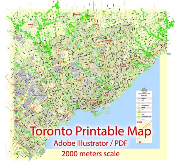
Toronto, Canada is home to several beautiful nature parks and green spaces that offer a refreshing escape from the urban hustle and bustle. Here are some of the notable nature parks in and around Toronto:
- High Park: Located in the western part of the city, High Park is Toronto’s largest and most famous park. It features a diverse range of attractions, including lush green spaces, a large pond, hiking trails, and beautiful cherry blossoms in the spring. High Park is also home to a small zoo, picnic areas, and sports facilities.
- Rouge National Urban Park: Rouge National Urban Park is one of the newest and largest urban parks in North America. It spans across the eastern part of Toronto and offers a mix of natural and cultural heritage. Visitors can explore forests, wetlands, and meadows, as well as learn about the area’s rich history. Hiking, bird-watching, and wildlife viewing are popular activities here.
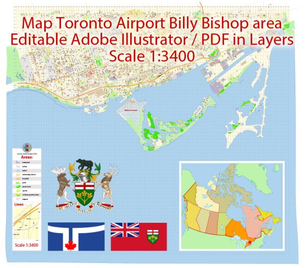
- Toronto Islands: A group of small islands in Lake Ontario, the Toronto Islands are a peaceful oasis just a short ferry ride from downtown Toronto. These islands are car-free and offer beautiful beaches, biking paths, and walking trails. Centreville Amusement Park and the Gibraltar Point Lighthouse are also popular attractions on the islands.
- Evergreen Brick Works: Located in the Don Valley, the Evergreen Brick Works is a former industrial site transformed into a thriving environmental and cultural hub. It features hiking trails, a farmer’s market, and educational programs, making it a great place for nature enthusiasts and families.
- Tommy Thompson Park: Also known as the Leslie Street Spit, this urban wilderness located along the Lake Ontario shoreline is a haven for birdwatchers and nature lovers. It features a variety of habitats, including wetlands, meadows, and forests, making it an excellent place for hiking and wildlife viewing.
- Humber Bay Park: This park is situated along the shores of Lake Ontario and provides stunning views of the city skyline. It has walking and cycling trails, as well as a butterfly habitat and bird-watching opportunities.
- Edwards Gardens: Part of the Toronto Botanical Garden, Edwards Gardens is a beautifully landscaped park with themed gardens, ornamental ponds, and serene walking paths. It’s an ideal place for a leisurely stroll or to enjoy seasonal blooms.
- Glen Rouge Campground: If you’re interested in camping, the Glen Rouge Campground within Rouge National Urban Park offers a peaceful and natural setting for outdoor enthusiasts. It’s a great place to connect with nature while still being close to the city.
These parks and natural spaces in Toronto provide residents and visitors with an opportunity to enjoy the beauty of nature, explore outdoor activities, and escape the urban environment, all within the boundaries of this vibrant Canadian city.

 Author: Kirill Shrayber, Ph.D. FRGS