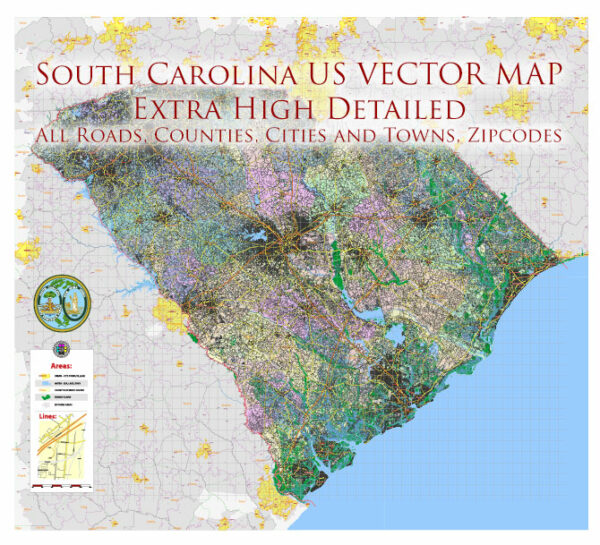
South Carolina is home to several beautiful national parks, each offering unique outdoor experiences and opportunities to explore the state’s natural and cultural heritage. Here’s a brief description of some of the national parks in South Carolina:
- Congaree National Park: Congaree National Park, located near Columbia, is known for its vast old-growth bottomland hardwood forest, making it one of the largest intact expanses of this type of forest in the southeastern United States. The park is a designated wilderness area and offers opportunities for hiking, birdwatching, canoeing, kayaking, and camping. Visitors can explore the swampy landscape via boardwalks and trails, and the park is renowned for its remarkable biodiversity.
- Fort Sumter National Monument: Located in Charleston Harbor, Fort Sumter National Monument is a historical site that played a significant role in the American Civil War. Visitors can take a ferry to the island and explore Fort Sumter, where the first shots of the Civil War were fired. The park also includes Fort Moultrie on nearby Sullivan’s Island, which provides additional insight into the region’s military history.
- Charles Pinckney National Historic Site: This historic site, located in Mount Pleasant, preserves the former plantation of Charles Pinckney, one of the authors and signers of the United States Constitution. Visitors can explore the grounds, learn about the history of the plantation, and gain insights into the early years of the United States.
- Kings Mountain National Military Park: Situated near Blacksburg, this national park commemorates the Battle of Kings Mountain, a pivotal engagement during the American Revolution. The park features a visitor center and numerous trails and exhibits that provide an in-depth look at the battle’s history and its significance in the American Revolution.
- Ninety Six National Historic Site: Ninety Six National Historic Site, located in Ninety Six, South Carolina, preserves the history of the American Revolution. The park includes the remains of a colonial-era town and fortifications and offers educational programs and exhibits that highlight the area’s role in the Revolutionary War.
These national parks in South Carolina offer a diverse range of experiences, from natural beauty to historical significance. Whether you’re interested in exploring the great outdoors or delving into the state’s history, these parks have something to offer for every visitor.


 Author: Kirill Shrayber, Ph.D. FRGS