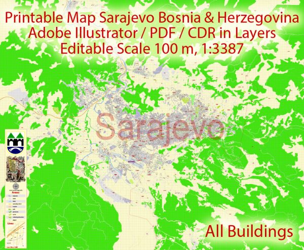
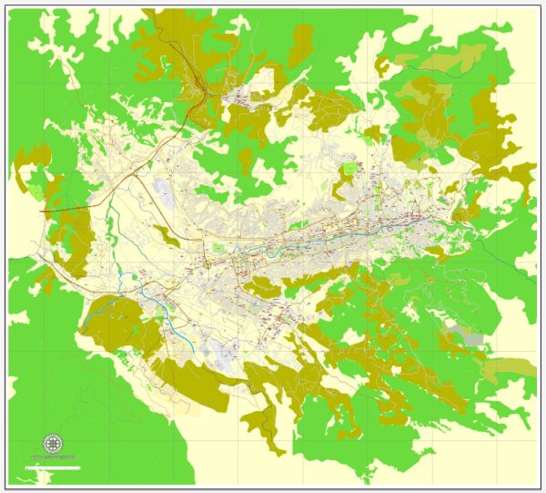
Sarajevo, the capital of Bosnia and Herzegovina, is a city surrounded by natural beauty and offers several nature parks and green spaces for residents and visitors to enjoy. While it may not have extensive national parks within the city limits, there are numerous natural areas and parks nearby that provide opportunities for outdoor activities and relaxation. Here are some of the nature parks and green spaces in and around Sarajevo:
- Vrelo Bosne: Located just a short drive from Sarajevo, Vrelo Bosne is a popular nature park that features a series of springs and streams that eventually form the River Bosna. The park is known for its lush greenery, walking trails, and the beautiful spring of River Bosna. It’s a great place for a leisurely stroll, picnics, and enjoying the serene atmosphere.
- Trebević Mountain: Trebević Mountain, situated just southeast of Sarajevo, is a beautiful natural area known for its hiking and biking trails. You can take a cable car to the summit for stunning panoramic views of Sarajevo and the surrounding countryside. The mountain is also home to the remains of the 1984 Winter Olympics bobsleigh and luge track.
- Bjelašnica Mountain: Another prominent mountain near Sarajevo, Bjelašnica, is well-known for winter sports and hiking. In the winter, it offers excellent skiing and snowboarding opportunities. During the summer, it provides numerous hiking trails that lead to scenic viewpoints.
- Jahorina Mountain: Jahorina, like Bjelašnica, is a popular ski resort in the winter. In the summer, it transforms into a hiker’s paradise, with numerous trails and a pristine natural environment.
- Park Prinčeva: Located in the city center of Sarajevo, Park Prinčeva is a small but charming urban park. It’s a pleasant place to take a break, with benches, trees, and a small playground for children.
- Koševo Park: Koševo Park is a well-maintained urban park in Sarajevo and is often used for various recreational activities. It is an excellent place for jogging, picnicking, and leisurely walks. The park also includes a memorial complex dedicated to the victims of World War II.
- Igman Mountain: Igman Mountain is another natural area near Sarajevo, offering opportunities for hiking and outdoor adventures. It’s a peaceful location with forests and meadows.
While Sarajevo may not have extensive nature parks within the city, the surrounding mountains and parks provide ample opportunities for nature lovers and outdoor enthusiasts. Whether you enjoy hiking, skiing, or simply taking in the natural beauty, Sarajevo and its surroundings offer a variety of options to connect with nature.


 Author: Kirill Shrayber, Ph.D. FRGS