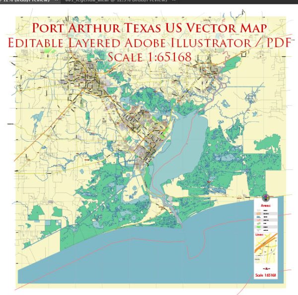
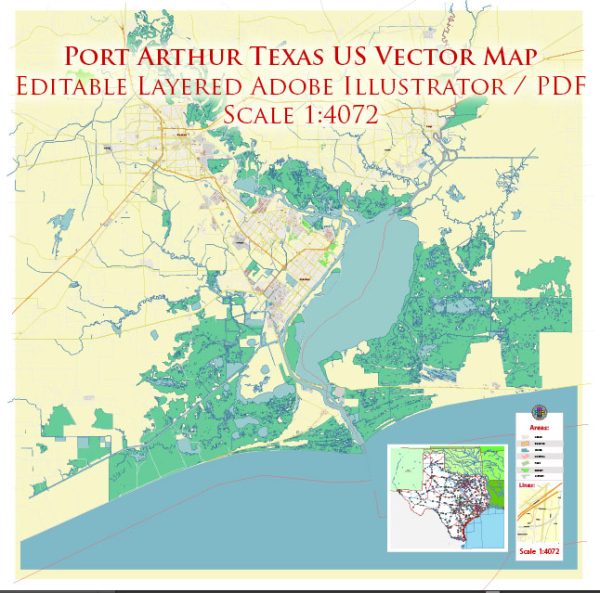
Port Arthur, Texas, is home to several nature parks and recreational areas that offer opportunities for outdoor activities and a chance to immerse yourself in the natural beauty of the area. Here are some of the notable nature parks and their descriptions in Port Arthur:
- Sea Rim State Park:
- Sea Rim State Park is located on the Gulf of Mexico and offers a unique combination of marshes, beaches, and coastal prairies.
- Visitors can enjoy birdwatching, wildlife observation, and photography as the park is a prime spot for migratory birds and other wildlife.
- The park has a boardwalk and trails that take you through the diverse coastal ecosystems, including salt marshes and dunes.
- Fishing, crabbing, and swimming are popular activities at the park.
- Camping is also available at the park, allowing visitors to stay close to the natural beauty of the area.
- Pleasure Island:
- Pleasure Island is an 18-mile-long man-made island that offers a range of recreational activities.
- The island features a golf course, a marina, and several parks where you can enjoy picnicking, hiking, and wildlife viewing.
- The Sabine Lake, which surrounds Pleasure Island, is a popular spot for fishing and boating, with numerous boat ramps and fishing piers.
- The Sabine Pass Battleground State Historic Site, located on the island, offers historical insights into the Battle of Sabine Pass during the Civil War.
- Sabine Woods Bird Sanctuary:
- Sabine Woods Bird Sanctuary is a haven for birdwatchers and nature enthusiasts.
- The sanctuary is known for its rich biodiversity and is a critical stopover for migratory birds, especially during the spring and fall migration seasons.
- Birdwatchers can spot a wide variety of species, including warblers, sparrows, and other songbirds.
- The sanctuary is managed by the Houston Audubon Society and features well-maintained trails and bird blinds for observing the feathered residents.
- Adams Bayou Trail:
- The Adams Bayou Trail is a scenic urban nature trail located within the city of Port Arthur.
- This paved trail meanders along the banks of Adams Bayou and offers a peaceful and easygoing walking or biking experience.
- The trail is surrounded by lush vegetation and is ideal for a leisurely stroll, with opportunities for wildlife viewing and birdwatching.
- It’s a great option for those looking to connect with nature without traveling far from the city.
These nature parks and recreational areas in Port Arthur provide a diverse range of outdoor experiences, from coastal exploration to birdwatching, making the region a great destination for nature enthusiasts and outdoor lovers. Whether you’re interested in birding, fishing, or simply enjoying the serene beauty of the Gulf Coast, Port Arthur has something to offer.


 Author: Kirill Shrayber, Ph.D. FRGS