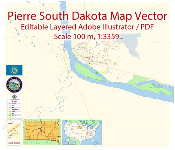
Pierre, South Dakota is the capital city of the state and is located in the central part of South Dakota along the banks of the Missouri River. While Pierre itself is not known for its nature parks, there are several natural areas and parks in and around the city that offer outdoor recreational opportunities. Here are some of the notable ones:
- LaFramboise Island Nature Area: Located on an island in the Missouri River just south of Pierre, LaFramboise Island Nature Area is a beautiful natural area that offers hiking, picnicking, and birdwatching opportunities. It features a mix of woodlands, grasslands, and wetlands, making it a great spot for observing wildlife and enjoying the serene environment.
- Steamboat Park: This park is situated along the Missouri River and provides a scenic spot for picnicking, fishing, and enjoying views of the river. It’s also home to the Lewis and Clark Family Center, which offers educational exhibits about the famous explorers.
- Farm Island Recreation Area: Just a short drive from Pierre, Farm Island Recreation Area is located on an island in the Missouri River. The park features hiking trails, a swimming beach, a boat launch, and camping facilities. It’s an excellent place for water-based activities, picnicking, and wildlife observation.
- Oahe Downstream Recreation Area: Located a little to the north of Pierre, this recreation area is situated along the Oahe Reservoir, a large reservoir formed by the Missouri River. The area offers camping, fishing, boating, and swimming opportunities. It’s a popular spot for outdoor enthusiasts and water recreation.
- Oahe Dam Overlook: This overlook provides breathtaking panoramic views of the Oahe Reservoir and the surrounding landscape. It’s a great place for photography and taking in the vastness of the Missouri River.
While Pierre may not have large, dedicated nature parks within the city limits, the region offers numerous opportunities to explore the natural beauty of the area, including the Missouri River and its reservoirs. These outdoor spaces allow visitors to appreciate the rich natural heritage of South Dakota and enjoy various recreational activities.


 Author: Kirill Shrayber, Ph.D. FRGS