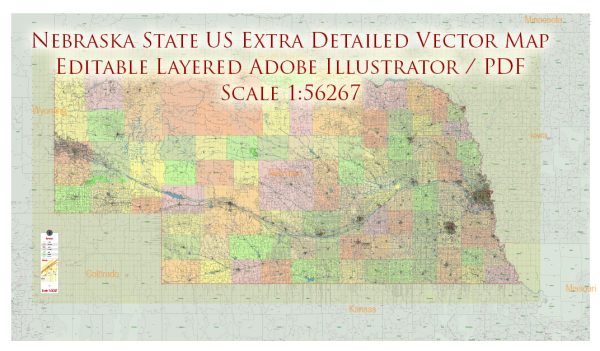
Nebraska, often referred to as the “Cornhusker State,” is not as well-known for its national parks as some other states, but it still offers several notable natural and historical attractions. Here are descriptions of some of the national parks and sites in Nebraska:
- Homestead National Monument of America: Located near Beatrice, Nebraska, this national monument commemorates the Homestead Act of 1862, which provided 160 acres of public land to settlers who agreed to improve the land and build a dwelling. The park features the Homestead Heritage Center, a beautiful prairie, and various exhibits that offer insights into the lives of the homesteaders.
- Scotts Bluff National Monument: Situated near Gering in western Nebraska, Scotts Bluff National Monument is known for its towering bluffs and unique geological formations. It played a significant role as a landmark for pioneers along the Oregon Trail. Visitors can explore hiking trails and a visitor center that offers information on the area’s history and natural features.
- Agate Fossil Beds National Monument: Located near Harrison, Nebraska, this monument is renowned for its well-preserved Miocene epoch mammal fossils, including the remains of ancient horses and rhinoceroses. The visitor center features exhibits showcasing these fossils and the rich paleontological history of the region. There are also scenic hiking trails in the area.
- Chimney Rock National Historic Site: Although not a national park, Chimney Rock is a prominent natural landmark located near Bayard, Nebraska. It served as a significant waypoint for pioneers traveling along the Oregon Trail in the 19th century. Visitors can explore the visitor center and take in the stunning views of the iconic chimney-shaped rock formation.
- Niobrara National Scenic River: This national scenic river stretches for 76 miles in north-central Nebraska and offers a picturesque landscape of lush forests, rugged bluffs, and clear waters. It’s a popular destination for kayaking, canoeing, and tubing, providing opportunities for outdoor recreation and wildlife watching along the Niobrara River.
While Nebraska may not have the same number of national parks as some other states, these sites and monuments offer unique opportunities to explore the state’s history, geology, and natural beauty. They provide valuable insights into the region’s past and are great places to enjoy outdoor activities, education, and recreation.


 Author: Kirill Shrayber, Ph.D. FRGS