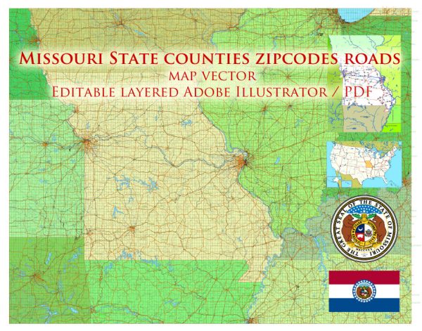
Missouri is home to several national parks and sites that offer a diverse range of natural and cultural experiences. While Missouri does not have traditional national parks like Yellowstone or Yosemite, it does have national historic sites and a national scenic riverway. Here are some of the notable national parks and sites in Missouri:
- Gateway Arch National Park: Located in St. Louis, this park is known for its iconic Gateway Arch, which stands as a symbol of westward expansion in the United States. Visitors can take a tram ride to the top of the arch for panoramic views of the city and the Mississippi River. The park also includes the Old Courthouse, where important historical events, including the Dred Scott case, took place.
- Wilson’s Creek National Battlefield: This historic site near Springfield commemorates the Battle of Wilson’s Creek, which occurred during the American Civil War in 1861. It is one of the first major battles of the war west of the Mississippi River and offers a glimpse into this critical period in American history.
- Ozark National Scenic Riverways: This national park covers the Current and Jacks Fork rivers, offering opportunities for canoeing, kayaking, hiking, and camping. It is known for its beautiful, spring-fed rivers, caves, and scenic landscapes. The park provides a serene natural environment and is ideal for outdoor enthusiasts.
- George Washington Carver National Monument: Located near Diamond, Missouri, this monument is dedicated to the famous African-American scientist and educator George Washington Carver. Visitors can explore the visitor center, hike trails, and learn about Carver’s groundbreaking work in agriculture and botany.
- Harry S. Truman National Historic Site: This historic site is located in Independence, Missouri, and is dedicated to the life and career of President Harry S. Truman. It includes Truman’s home, a visitor center, and other associated properties that give visitors insight into Truman’s presidency and personal life.
- Ulysses S. Grant National Historic Site: Situated in St. Louis, this site commemorates the life and career of the 18th President of the United States, Ulysses S. Grant. Visitors can explore the historic White Haven estate, where Grant lived, and learn about his military and political achievements.
These national parks and historic sites in Missouri offer a mix of natural beauty, history, and cultural significance. Whether you’re interested in exploring the great outdoors, learning about American history, or simply enjoying the serene landscapes, these sites have something to offer for every visitor.


 Author: Kirill Shrayber, Ph.D. FRGS