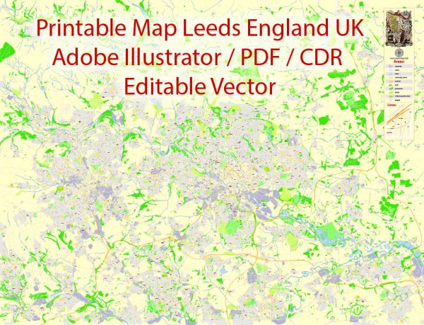
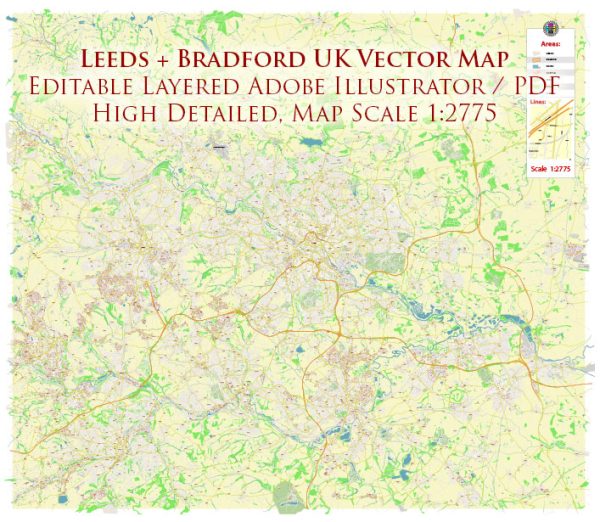
Leeds Bradford, located in West Yorkshire, England, is not home to a national park itself, but it is situated in close proximity to several beautiful national parks and areas of natural beauty. Here are some of the notable ones in the region:
- Yorkshire Dales National Park: The Yorkshire Dales National Park is located to the northwest of Leeds Bradford. It is known for its stunning landscapes of rolling hills, valleys, limestone formations, and charming villages. Visitors can explore numerous walking and hiking trails, go caving, and enjoy outdoor activities in this picturesque setting.
- Peak District National Park: To the south of Leeds Bradford, the Peak District National Park offers a diverse range of landscapes, including rugged moorlands, limestone dales, and picturesque villages. It’s a popular destination for hiking, rock climbing, cycling, and wildlife watching.
- Nidderdale Area of Outstanding Natural Beauty (AONB): Located to the northeast of Leeds Bradford, Nidderdale is designated as an Area of Outstanding Natural Beauty. This area features stunning landscapes, including rolling hills, reservoirs, and charming towns and villages. It’s an excellent place for outdoor activities and exploring the beauty of the Yorkshire countryside.
- Brontë Country: The area surrounding Leeds Bradford is also associated with the famous Brontë sisters, who were novelists and poets. Haworth, a village near Bradford, is where the Brontë family lived, and the Brontë Parsonage Museum is a popular attraction for those interested in literary history.
While Leeds Bradford itself doesn’t fall within a national park, the region offers plenty of opportunities to explore the natural beauty and cultural heritage of Yorkshire, making it a great base for outdoor enthusiasts and those looking to experience the charm of the English countryside.


 Author: Kirill Shrayber, Ph.D. FRGS