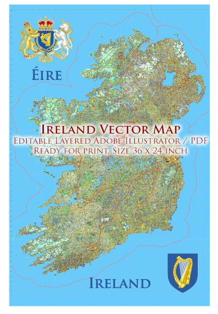
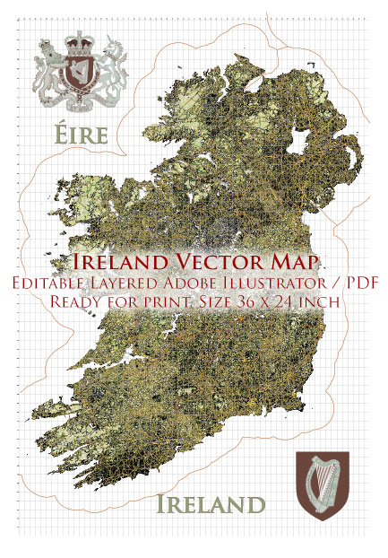
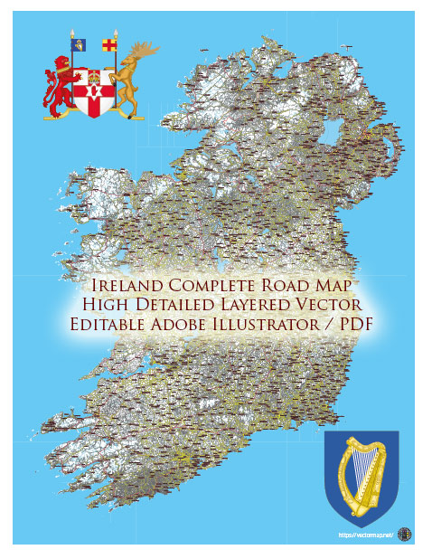
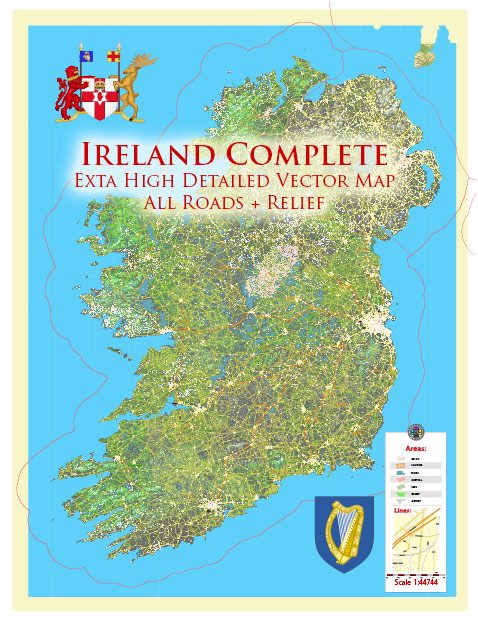
Ireland is renowned for its stunning natural landscapes, and while it doesn’t have traditional national parks like some other countries, it does have several areas of outstanding natural beauty and protected spaces that function similarly to national parks. Here are some of the most notable ones:
- Killarney National Park: Located in County Kerry, Killarney National Park is one of the most famous and diverse natural areas in Ireland. It covers approximately 25,425 acres and includes mountain ranges, woodlands, and beautiful lakes, including the famous Lakes of Killarney. The park is also home to a variety of wildlife, including red deer.
- Glenveagh National Park: Situated in County Donegal, Glenveagh National Park is a remote and rugged expanse of wilderness. It covers over 40,000 acres and features the stunning Glenveagh Castle, lush gardens, and the vast Derryveagh Mountains. The park is a sanctuary for native wildlife and is known for its scenic beauty.
- Burren National Park: Located in County Clare, the Burren National Park is unique in its limestone karst landscape. The park spans around 1,500 hectares and is famous for its distinctive flora, including rare wildflowers. The Burren is also home to ancient archaeological sites and scenic walking trails.
- Wicklow Mountains National Park: Just south of Dublin, this national park is home to the Wicklow Mountains, offering a close escape to nature for city dwellers. It covers approximately 54,000 acres and features beautiful landscapes, lakes, forests, and hiking opportunities.
- Connemara National Park: Situated in County Galway, Connemara National Park covers around 2,957 hectares. The park is known for its rugged beauty, stunning mountains, bogs, and woodlands. It offers various walking and hiking trails, with Diamond Hill being a popular destination for panoramic views.
- Ballycroy National Park: Located in County Mayo, Ballycroy National Park is Ireland’s sixth and newest national park, covering around 11,000 hectares. The park is mostly composed of Atlantic blanket bog and is an important habitat for migratory birds.
While these areas do not carry the official designation of “national park” as you might find in some other countries, they are still protected and managed to preserve Ireland’s unique natural heritage. Visitors can explore these areas, enjoy outdoor activities, and experience the natural beauty that Ireland has to offer.

 Author: Kirill Shrayber, Ph.D. FRGS