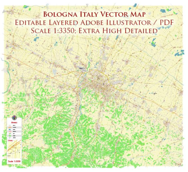
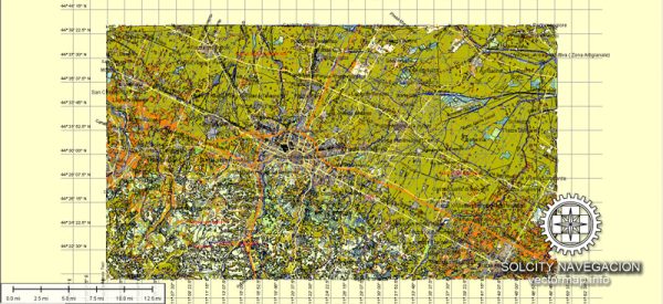
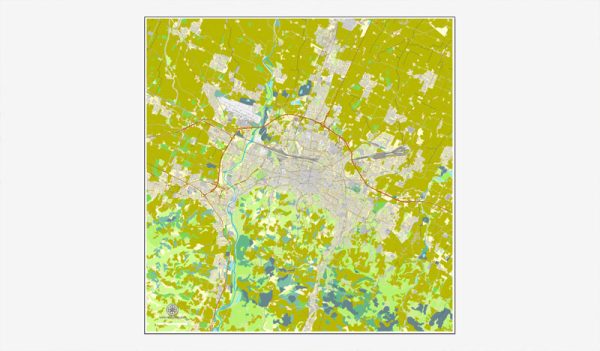
Bologna, Italy, is a beautiful city in the heart of the Emilia-Romagna region, known for its rich history, culture, and cuisine. While it may not be renowned for its nature parks like some other regions of Italy, there are several natural areas and parks in and around Bologna where you can escape the urban environment and enjoy the beauty of the outdoors. Here are some of the notable nature parks and areas in and around Bologna:
- Parco dei Gessi Bolognesi e Calanchi dell’Abbadessa: This regional park is located just a short drive from Bologna and is known for its unique karst landscape, with limestone formations, gullies, and sinkholes. It’s a popular destination for hiking, rock climbing, and bird watching. The park offers several well-marked trails that take you through stunning geological formations and lush woodlands.
- Parco di Villa Ghigi: This park is located within the city of Bologna, offering a peaceful escape from the bustling urban environment. It features walking paths, green lawns, and a variety of trees and plants. The park is ideal for a leisurely stroll or a picnic, and it provides panoramic views of the city.
- Parco di Monte Sole: Located about 20 kilometers from Bologna, Monte Sole is a tranquil natural area with rolling hills, forests, and meadows. It’s a great place for hiking and offers historical significance as it was the site of tragic events during World War II. The park provides a serene environment for outdoor activities and reflection.
- Parco di Cavaioni: Situated to the east of Bologna, this park offers a mix of natural beauty and historical interest. It includes wooded areas, a lake, and the ruins of an old paper mill. Visitors can enjoy nature walks, picnics, and bird watching in a peaceful setting.
- Reno River Park: The Reno River flows through Bologna, and you can enjoy scenic walks and bike rides along its banks. The park includes green spaces, recreational areas, and paths for outdoor activities. It’s an excellent place to unwind and enjoy the soothing presence of water.
While Bologna may not have vast wilderness areas like some other parts of Italy, these parks and natural areas provide opportunities for relaxation, outdoor recreation, and a connection with nature. They are also a great way to experience the more serene and natural side of Bologna while visiting the city.


 Author: Kirill Shrayber, Ph.D. FRGS