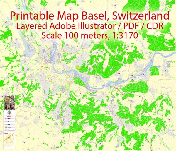
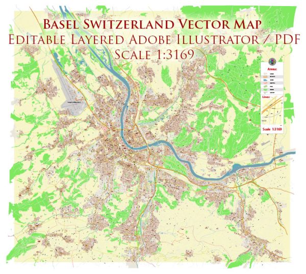
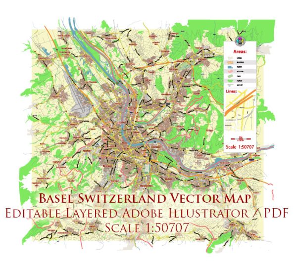
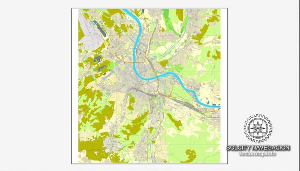
Basel, Switzerland, is a city known for its rich cultural heritage, but it also offers several beautiful natural parks and green spaces for residents and visitors to enjoy. Here are some of the notable nature parks in Basel:
- Basler Rheinufer: The Rhine River flows through Basel, and the riverbanks, known as “Rheinufer,” offer a picturesque and relaxing place for a stroll or a picnic. You can take in the scenic views of the river, the old town, and the surrounding hills.
- Merian Park (Merian Gärten): Merian Park is a stunning botanical garden located in the St. Alban neighborhood. It features a wide variety of plant species from around the world. Visitors can explore different themed gardens, including a rose garden, Mediterranean garden, and a bamboo grove.
- Brüglinger Ebene: This is a vast meadow area located on the outskirts of Basel. It’s an excellent spot for outdoor activities like jogging, picnicking, and sports. The meadows are also home to diverse flora and fauna.
- Lange Erlen: Lange Erlen is a nature reserve along the Rhine River that provides a natural habitat for various wildlife species. It’s a popular spot for bird watching and features walking trails through beautiful wetlands.
- Dreiländereck Park: Situated at the point where Switzerland, Germany, and France meet, this park is a symbol of international unity. It’s a lovely green space with paths, picnic areas, and a playground. You can stand at the point where three countries’ borders intersect.
- Schützenmattpark: This urban park is located in the heart of Basel and offers a quiet retreat from the bustling city. It has a playground, a pond, and shaded areas for relaxation. The park is often used for events and festivals.
- St. Johanns-Park: St. Johanns-Park is a charming park in the St. Johann district. It features a historic villa and lovely green spaces, making it a serene place for a leisurely walk or a peaceful afternoon.
- Tüllinger Hill (Tüllinger Berg): While technically across the border in Germany, the Tüllinger Hill is a short drive from Basel and provides panoramic views of the city and the surrounding region. It’s a popular spot for hiking and enjoying nature.
Basel’s natural parks and green spaces offer a welcome contrast to the city’s urban environment, allowing residents and visitors to connect with nature, relax, and enjoy the outdoors in various ways. Whether you’re looking for a peaceful escape, a family outing, or an opportunity to explore local flora and fauna, these parks have something to offer for everyone.

 Author: Kirill Shrayber, Ph.D. FRGS