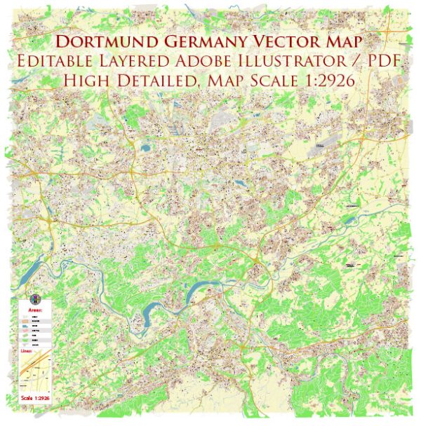
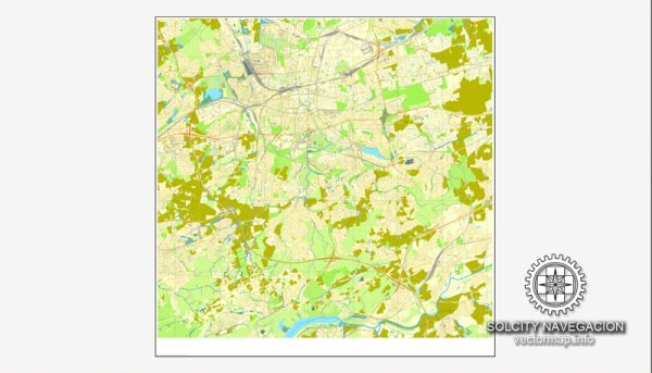
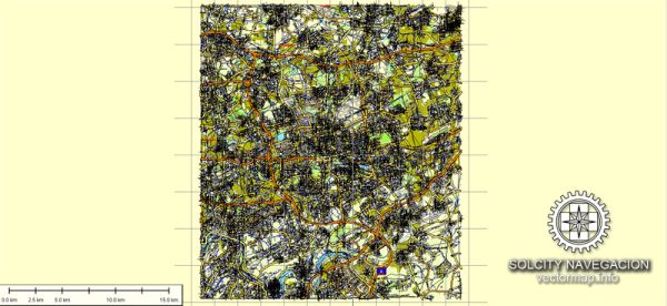
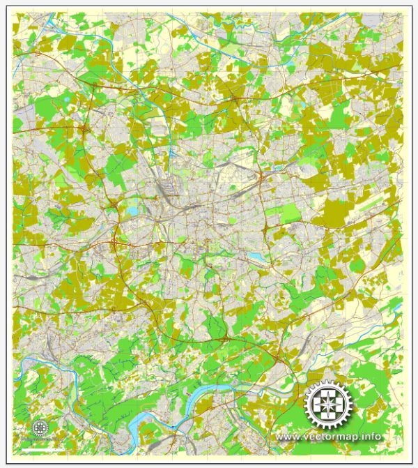
Dortmund is a major city located in the North Rhine-Westphalia region of Germany. It has a well-developed road network with several principal streets and avenues. Here are some of the notable streets and avenues in Dortmund:
- Westenhellweg: Westenhellweg is one of the main shopping streets in Dortmund and one of the busiest pedestrian zones in Europe. It is lined with shops, boutiques, department stores, and restaurants, making it a popular destination for shoppers.
- Kampstraße: Kampstraße is another prominent shopping street in the city, featuring a variety of retail outlets and eateries. It is located in the heart of the city center and connects to Westenhellweg.
- Königswall: Königswall is an important road that encircles the city center. It’s a major traffic artery and also home to several businesses and public institutions.
- Hansestraße: This street is known for its industrial and commercial significance. It hosts various businesses and industrial establishments.
- Ostenhellweg: Ostenhellweg runs parallel to Westenhellweg and also features a range of shops and businesses. It’s a popular destination for shoppers looking for a slightly quieter alternative to Westenhellweg.
- Hohen Straße: Hohen Straße is a street with a mix of shops, cafes, and restaurants, offering a diverse urban experience for visitors.
- Märkische Straße: This street is primarily residential but also features some local shops and services. It’s not as commercialized as the aforementioned streets.
- Emil-Figge-Straße: Emil-Figge-Straße is known for hosting parts of the Technical University of Dortmund. It’s an educational hub with various academic buildings.
- Hannöversche Straße: This street is an important transportation corridor and connects various parts of the city.
- Rheinlanddamm: Rheinlanddamm is a major thoroughfare in Dortmund that helps in easing traffic flow across the city.
Dortmund’s street layout is well-organized, and its public transportation system, including trams and buses, is extensive, making it easy to navigate the city and explore its various streets and neighborhoods. Keep in mind that the city’s infrastructure and road network may change over time, so it’s a good idea to check for the latest maps and directions when visiting or traveling through Dortmund.


 Author: Kirill Shrayber, Ph.D. FRGS