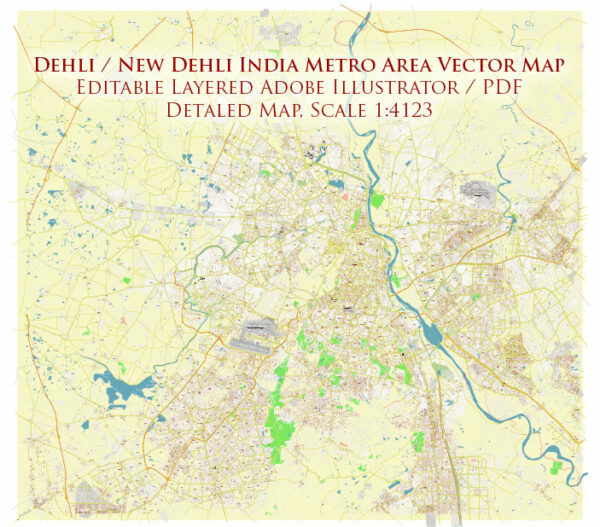
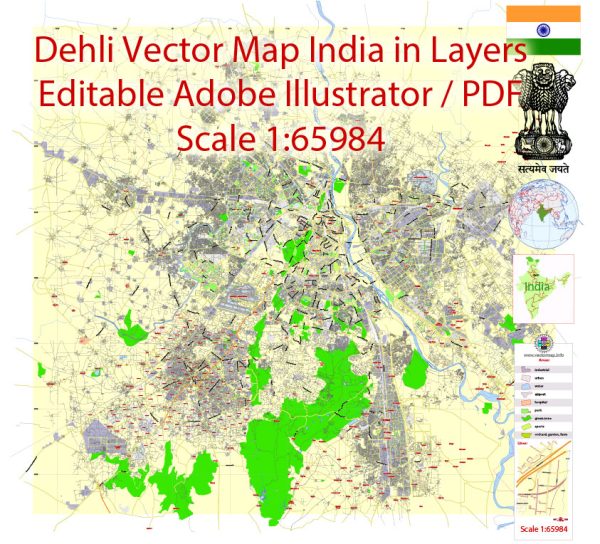
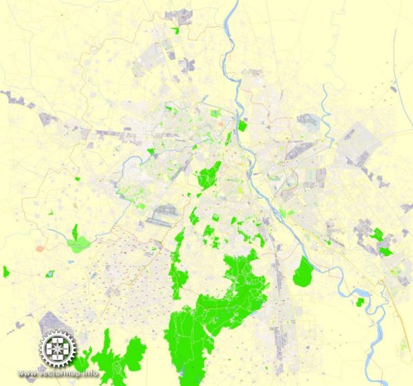
Delhi, the capital of India, is a vast and bustling metropolis with a complex network of streets and roads. There are several principal streets and avenues in the city that serve as major transportation arteries and are key to navigating Delhi. Here’s a description of some of these principal streets:
- Rajpath: Also known as the “King’s Way,” Rajpath is a grand ceremonial boulevard that extends from India Gate to Rashtrapati Bhavan (the Presidential Residence). It is lined with lush greenery and is the venue for major national events and parades.
- Connaught Place (CP): Connaught Place is a circular market area in the heart of Delhi. It is a commercial and business hub with a distinct architectural style and is surrounded by two concentric circles (Inner and Outer Circles) where you’ll find a wide range of shops, restaurants, and offices.
- Janpath: Located near Connaught Place, Janpath is a popular shopping street known for its collection of handicrafts, jewelry, and clothing. It’s a great place for tourists looking to buy souvenirs and traditional Indian items.
- Chandni Chowk: This historic street in Old Delhi is one of the oldest and busiest markets in the city. It’s known for its narrow lanes, bustling bazaars, and a wide variety of goods, from spices and textiles to electronics and street food.
- Lutyens’ Delhi: This is the area designed by British architect Sir Edwin Lutyens during the colonial period. It houses many government buildings, embassies, and the residences of high-ranking officials. Some of the prominent streets in this area include Akbar Road, Mansingh Road, and Ashoka Road.
- Mathura Road: This road connects several significant landmarks, including the All India Institute of Medical Sciences (AIIMS), Humayun’s Tomb, and Nizamuddin Railway Station. It’s a major route for both local and intercity transportation.
- Outer Ring Road: This circular road surrounds Delhi and connects many important areas of the city. It’s an essential transportation artery for those traveling from one part of Delhi to another.
- Aurobindo Marg: Aurobindo Marg is a significant road in South Delhi that connects various upscale residential areas, markets, and institutions. It is known for its tree-lined streets and upscale boutiques.
- M.G. Road (Mehrauli-Gurgaon Road): This road connects Delhi to the neighboring city of Gurgaon in Haryana. It’s a commercial hub with numerous corporate offices, malls, and entertainment venues.
- NH 48 (Delhi-Jaipur Highway): This national highway connects Delhi to Jaipur and is a vital transportation route for people traveling to Rajasthan. It passes through the southwestern part of the city.
- Amar Jawan Jyoti Road: This road leads to India Gate and the Amar Jawan Jyoti (the eternal flame memorial). It’s an iconic location in Delhi and a symbol of the city’s heritage.
These are just a few of the principal streets in Delhi, and the city’s road network is extensive, catering to the diverse needs of its residents and visitors. Delhi’s streets showcase a blend of historical and modern architecture, reflecting its rich cultural and historical heritage.


 Author: Kirill Shrayber, Ph.D. FRGS