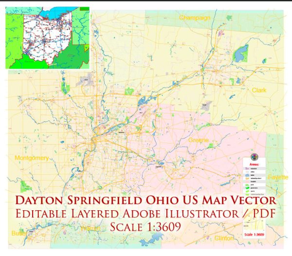
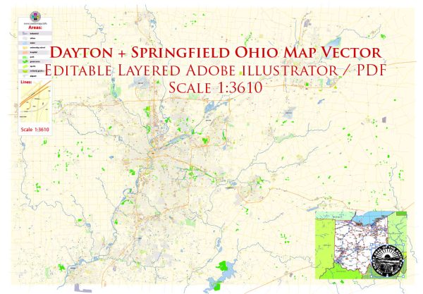
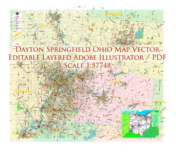
Dayton and Springfield, Ohio, are located in the western part of the state and have a variety of water resources and bridges. These cities are situated in the Miami Valley region, which is traversed by several rivers and streams, and they are known for their historic and modern bridges. Here is an overview of some key water resources and notable bridges in the Dayton-Springfield area:
Water Resources:
- Great Miami River: The Great Miami River flows through both Dayton and Springfield. It is a major waterway in the region and provides recreational opportunities such as boating, fishing, and kayaking.
- Mad River: The Mad River is another important watercourse in the area, flowing through Springfield. It has parks and natural areas along its banks.
- Stillwater River: The Stillwater River is a tributary of the Great Miami River and provides additional opportunities for outdoor activities.
- Several smaller creeks and streams, including Wolf Creek and Twin Creek, flow through the region, contributing to the overall water resources.
Notable Bridges:
- The Main Street Bridge (Dayton): This historic bridge spans the Great Miami River in downtown Dayton. It is an iconic truss bridge and a popular sight in the city.
- The Third Street Bridge (Dayton): This is another noteworthy bridge in Dayton, crossing the Great Miami River. It offers picturesque views of the river and downtown Dayton.
- The Keowee Street Bridge (Dayton): This is a bascule bridge that crosses the Great Miami River and is important for transportation in the area.
- The Springfield Street Bridge (Springfield): This bridge connects Springfield and nearby areas, crossing the Mad River.
- The Lower Valley Pike Bridge (Springfield): This historic bridge crosses the Mad River and is an important transportation link in the region.
- The Riverside Drive Bridge (Dayton): This bridge provides a connection between Dayton and the community of Riverside, offering beautiful views of the river and the city.
- The Stewart Street Bridge (Dayton): Located near the University of Dayton, this bridge is an important route for both vehicular and pedestrian traffic.
These are just a few examples of the water resources and bridges in the Dayton-Springfield area. The rivers, streams, and bridges in this region contribute to its natural beauty and play a crucial role in transportation and recreation for residents and visitors.


 Author: Kirill Shrayber, Ph.D. FRGS