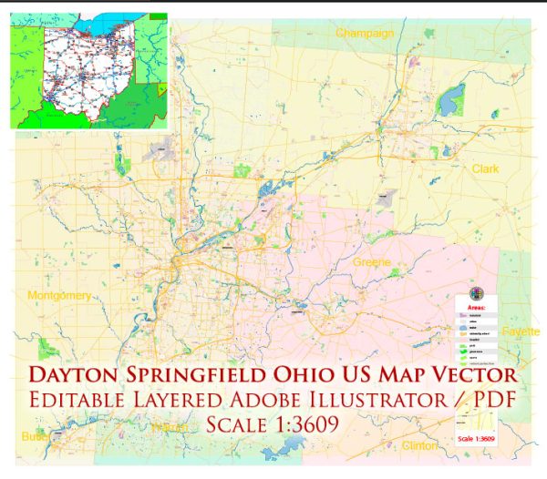
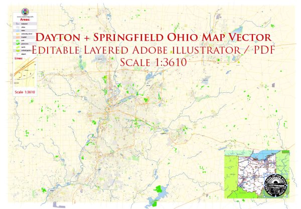
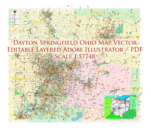
Dayton and Springfield are two cities located in the state of Ohio, United States. While they are distinct cities, they are relatively close to each other and share some aspects of their transportation systems. Here’s a brief description of the transportation systems in Dayton and Springfield, Ohio:
- Roads and Highways: Dayton and Springfield are well-connected by an extensive network of roads and highways. Interstate 70 and Interstate 75 are two major interstate highways that intersect in the Dayton area. These highways provide convenient access to and from the cities, making them important transportation corridors for both commuters and freight.
- Public Transportation:
- Bus Services: Dayton and Springfield both have public bus systems. The Greater Dayton Regional Transit Authority (RTA) operates bus services in the Dayton area, providing an essential mode of public transportation for residents. Springfield has its own bus service, known as the Springfield City Area Transit (SCAT) system.
- Bike Lanes and Paths: Efforts have been made to improve cycling infrastructure in both cities, with dedicated bike lanes and paths. Dayton, in particular, has been working on becoming more bike-friendly, promoting alternative transportation options.
- Air Transportation: Dayton is home to the Dayton International Airport, which offers domestic flights and serves as a major gateway for travelers in the region. The airport provides convenient air travel options for residents of both Dayton and Springfield.
- Rail Transportation: Dayton and Springfield have a limited passenger rail service, primarily provided by Amtrak. The Amtrak Cardinal route, which connects Chicago to New York City, makes a stop in Cincinnati, Ohio, which is within a reasonable driving distance from Dayton and Springfield. While not as extensive as some other regions, passenger rail service is available for those who prefer this mode of travel.
- Local Roads and Streets: Both cities have well-maintained local road systems, which include streets, avenues, and boulevards. These roads provide access to neighborhoods, businesses, and amenities within the cities.
- Rideshare Services: Popular rideshare services like Uber and Lyft operate in Dayton and Springfield, offering residents and visitors convenient transportation options within the cities.
- Freight Transportation: The region around Dayton and Springfield is a hub for logistics and distribution, given its strategic location at the crossroads of major highways. This makes it an important area for freight transportation, including trucking and shipping.
- Future Developments: Both cities have been working on improving their transportation infrastructure. Initiatives may include road improvements, expanded public transportation options, and efforts to make transportation more sustainable and eco-friendly.
Keep in mind that the transportation systems in Dayton and Springfield, like in many other cities, continue to evolve to meet the changing needs of their residents and businesses. It’s important to check with local authorities or transportation agencies for the most up-to-date information on transportation options, routes, and any ongoing infrastructure projects in these cities.


 Author: Kirill Shrayber, Ph.D.