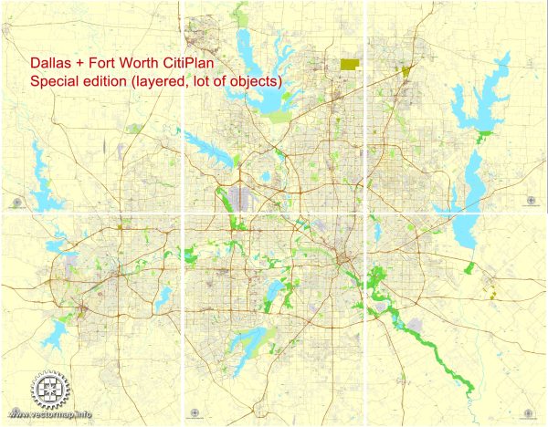
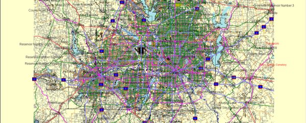
Dallas-Fort Worth (DFW), Texas, is a major metropolitan area with a variety of water resources and bridges. Here’s some information about the water resources and significant bridges in the DFW area:
Water Resources:
- Trinity River: The Trinity River is a significant waterway in the DFW area. It flows through both Dallas and Fort Worth, providing a source of water for the region. The river is important for recreation, as well as flood control.
- Lakes: There are several major lakes in the DFW area, including Lewisville Lake, Grapevine Lake, Ray Roberts Lake, and Eagle Mountain Lake. These lakes serve as water sources, recreational areas, and are essential for flood control.
- Water Supply: The DFW area primarily relies on surface water sources like lakes, but it also uses underground aquifers as a source of drinking water. The region’s water supply is managed by various entities, including the Tarrant Regional Water District, the North Texas Municipal Water District, and the Dallas Water Utilities.
- Water Conservation: Due to the semi-arid climate in North Texas, water conservation efforts are crucial. The region encourages residents and businesses to use water efficiently and has implemented various water-saving measures.
Bridges:
- Margaret Hunt Hill Bridge: This iconic bridge connects Dallas with West Dallas and was completed in 2012. It’s known for its distinctive white arches and serves as a major transportation link.
- Ronald Kirk Pedestrian Bridge: Adjacent to the Margaret Hunt Hill Bridge, this pedestrian bridge offers a scenic view of the Trinity River and the Dallas skyline.
- Horseshoe Project: The Horseshoe Project is a massive highway reconstruction and improvement effort in Dallas, which includes several new and renovated bridges. It aims to alleviate traffic congestion and improve transportation in the area.
- Arlington Bridges: In nearby Arlington, there are numerous bridges, including the Division Street Bridge and Johnson Creek Bridge, which help facilitate transportation within the city.
- Fort Worth Bridges: In Fort Worth, the West 7th Street Bridge and the Lancaster Avenue Bridge are notable structures, serving as key transportation links.
These are just a few examples of the water resources and bridges in the Dallas-Fort Worth area. The region’s infrastructure and water management are continually evolving to meet the needs of its growing population and to ensure sustainable water resources and efficient transportation.


 Author: Kirill Shrayber, Ph.D. FRGS