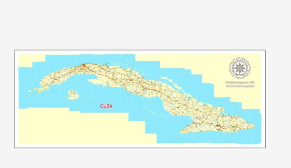
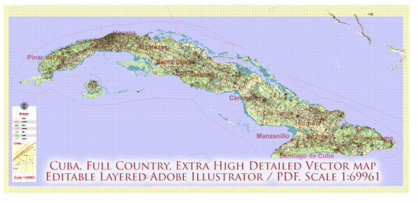
Cuba’s transportation system is characterized by a combination of various modes of transportation, including road, rail, air, and maritime options. The transportation infrastructure in Cuba has some unique features due to the country’s history and economic situation. Here’s an overview of the key aspects of Cuba’s transportation system:
- Road Transportation:
- Road Network: Cuba has an extensive road network that spans the entire country. The road quality can vary, with major highways and roads being generally well-maintained, while rural and less-traveled roads may be in poorer condition.
- Private Vehicles: Car ownership is limited in Cuba due to government restrictions and economic factors. Most vehicles are state-owned, and there is a strong presence of classic American cars from the 1950s, which have been maintained and are still in use.
- Public Transportation:
- Buses: Public buses are a common means of transportation in cities like Havana. These are typically crowded and may not be as reliable as in some other countries.
- Taxis: In addition to regular taxis, Cuba has a large number of “collective taxis” (shared taxis) that operate along fixed routes. These are often the preferred mode of transportation for many Cubans.
- Coco Taxis: These are three-wheeled, scooter-like vehicles that are a common sight in tourist areas. They are used for short trips within cities.
- Rail Transportation:
- Cuba has a railway system that connects major cities and towns. However, the railway infrastructure has suffered from a lack of investment and maintenance, resulting in slow and less reliable service.
- Air Transportation:
- Cuba has several international airports, with José Martí International Airport in Havana being the largest and busiest. The country is well-connected to other countries in the Caribbean and beyond. Domestic flights are also available for traveling within Cuba.
- Maritime Transportation:
- Given Cuba’s island geography, maritime transportation is crucial. There are several major ports, including the Port of Havana, which handles a significant portion of the country’s cargo and passenger traffic. Ferries and boats connect the main island with smaller surrounding islands.
- Cycling and Walking:
- Bicycles are a popular means of transportation in Cuba, especially in smaller towns and rural areas. Walking is also common for short distances.
- Challenges:
- Cuba’s transportation system faces various challenges, including outdated infrastructure, limited access to newer vehicles due to trade restrictions, and periodic fuel shortages. These challenges can result in transportation inefficiencies and occasional inconveniences for both locals and tourists.
- Tourist Transportation:
- Tourists in Cuba often use a mix of public transportation and privately-owned taxis. Tour buses and organized tours are also available for exploring the country’s various attractions.
It’s important to note that Cuba’s transportation system has unique characteristics due to the country’s socialist government, historical isolation, and economic conditions. While it may not be as developed or modern as transportation systems in many other countries, it plays a crucial role in facilitating movement and trade within the country and with its international partners.


 Author: Kirill Shrayber, Ph.D. FRGS