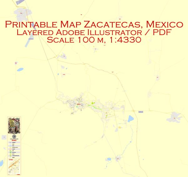
Zacatecas, Mexico, is a city known for its rich history and culture, and its urban development reflects this heritage. Here is a description of urban development in Zacatecas:
- Historic Architecture: Zacatecas is a colonial city, and its historic center is a UNESCO World Heritage Site. The city boasts well-preserved colonial architecture, featuring narrow cobblestone streets, colorful buildings with wrought-iron balconies, and ornate churches. The Baroque-style Cathedral of Zacatecas is a prominent landmark, as are the numerous colonial-era mansions and public buildings.
- Preservation Efforts: The city has made significant efforts to preserve its historic architecture and maintain the charm of its colonial past. Zoning regulations and architectural guidelines have been put in place to protect and restore these valuable structures.
- Cultural Heritage: Zacatecas has several museums, galleries, and cultural centers that celebrate its rich history and artistic traditions. The Rafael Coronel Museum, for instance, houses a remarkable collection of masks and other artifacts from Mexican culture. The city’s cultural development is closely intertwined with its urban landscape.
- Adaptive Reuse: In recent years, there has been a trend of adapting old buildings for new purposes. Many colonial-era structures have been transformed into boutique hotels, restaurants, and shops, creating a vibrant and unique urban experience.
- Plaza de Armas: The main square, Plaza de Armas, serves as the heart of the city and a focal point for social and cultural activities. It is surrounded by cafes, restaurants, and shops, making it a popular gathering place for both locals and tourists.
- Infrastructure and Modernization: Zacatecas has seen improvements in infrastructure, including roads, public transportation, and utilities, to accommodate its growing population and enhance the quality of life for residents. The city’s modernization efforts are carefully balanced with its commitment to preserving its historical character.
- Housing and Residential Areas: The city’s housing developments include a mix of traditional and modern designs. In the historic center, many residents live in well-preserved colonial homes, while in the newer parts of the city, there are modern apartment complexes and housing developments.
- Public Spaces: Zacatecas has numerous parks, plazas, and green spaces for recreational activities and cultural events. These spaces add to the city’s overall livability and provide opportunities for outdoor leisure.
- Tourism and Economy: The city’s urban development is closely tied to its tourism industry, which is a significant contributor to the local economy. The presence of well-preserved historical sites, cultural attractions, and a range of accommodations and dining options attracts visitors from Mexico and around the world.
In summary, Zacatecas, Mexico, is a city that balances modern urban development with the preservation of its rich historical and cultural heritage. Its charming colonial architecture, cultural institutions, and public spaces make it an attractive destination for tourists and a unique place to live for its residents.


 Author: Kirill Shrayber, Ph.D. FRGS