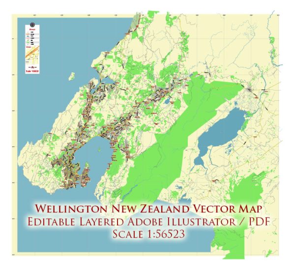
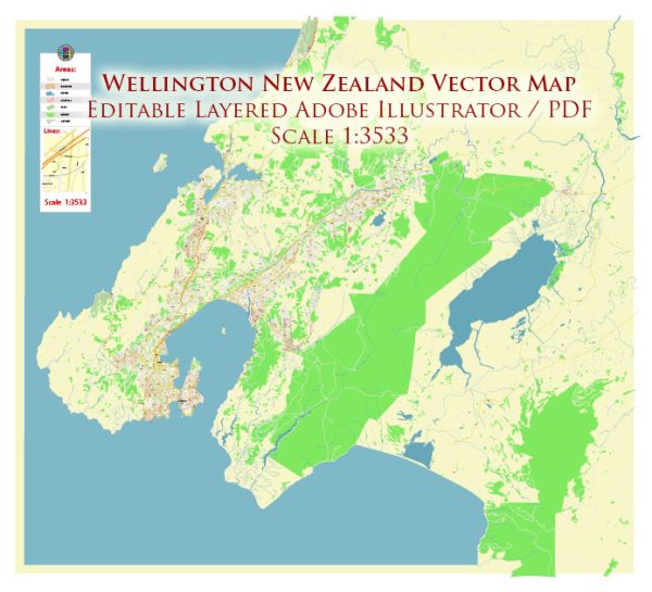
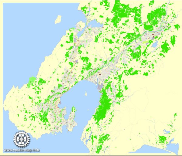
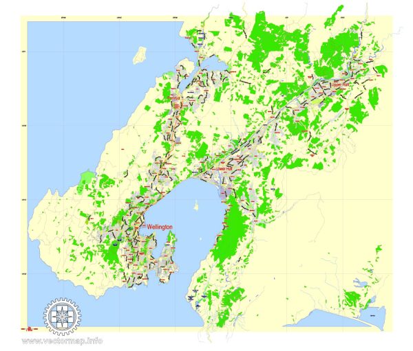
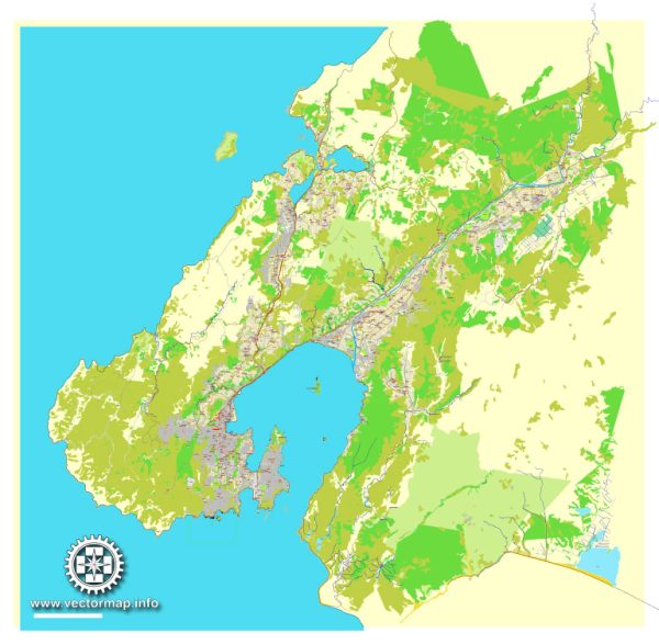
Wellington, the capital city of New Zealand, is located at the southern tip of the North Island. The city is surrounded by water, with the Tasman Sea to the west and the Pacific Ocean to the east. The city’s water resources and bridges play a crucial role in its transportation and infrastructure. Here’s an overview of Wellington’s water resources and bridges:
- Water Resources: a. Wellington Harbor: The Wellington Harbor is a significant natural harbor that forms the western edge of the city. It provides a vital transportation link for the city and is home to a thriving maritime industry. The harbor is used for ferry services connecting Wellington to the South Island and other nearby destinations.
b. Water Supply: Wellington’s water supply is sourced from a series of reservoirs and rivers in the surrounding region, including the Hutt River and the Wainuiomata River. The treated water is distributed to homes and businesses throughout the city.
- Bridges: Wellington has several notable bridges that facilitate transportation and connectivity in the city:
a. Wellington Urban Motorway: This motorway features various bridges and overpasses that span the city, including the Terrace Tunnel, the Johnsonville and Hutt Road Overpasses, and the Ngauranga Interchange. These structures play a crucial role in managing traffic flow in and out of the city.
b. Aotea Quay Bridge: This bridge spans the Wellington Harbor and connects the central city with the suburb of Aotea Quay. It is an important transportation route for both vehicles and pedestrians.
c. Hutt Road Bridge: Located in the Hutt Valley, this bridge connects Wellington with Lower Hutt and the wider Wellington region. It is a critical link for commuters traveling between these areas.
d. Petone Bridge: This historic bridge connects the suburb of Petone with the city of Wellington. It’s an iconic structure and a significant part of the area’s history.
e. Other Pedestrian and Cycle Bridges: Wellington also has numerous pedestrian and cycle bridges that enhance the city’s walkability and encourage alternative modes of transportation. These bridges provide access to waterfront areas and scenic routes.
The city’s water resources and bridges are essential for maintaining its functionality and ensuring that residents and visitors can easily access different parts of the region. Wellington’s unique coastal geography, with its harbor and surrounding bodies of water, makes its water resources and bridges particularly significant for its infrastructure and transportation networks.

 Author: Kirill Shrayber, Ph.D. FRGS