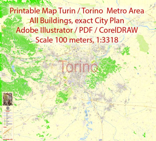
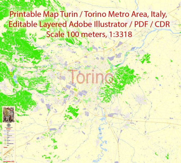
Turin, Italy, is a historically significant city with a rich cultural heritage. Its urban development has evolved over the centuries, reflecting a mix of architectural styles and urban planning approaches. Here is a description of Turin’s urban development:
- Historical Background: Turin is the capital city of the Piedmont region in northwest Italy. It was founded by the Romans as Augusta Taurinorum in the 1st century BC. The city has a long history of urban development, influenced by various ruling powers and architectural movements.
- Baroque and Renaissance Influence: Turin’s urban development prominently features Baroque and Renaissance architecture. During the rule of the House of Savoy in the 16th and 17th centuries, the city underwent significant transformations. Palaces, churches, and squares were built or renovated in the Baroque style, giving Turin a distinct architectural character. Notable examples include the Palazzo Reale (Royal Palace) and the Palazzo Madama.
- Grid Layout: Turin’s city center is characterized by a well-organized grid layout, which is a common feature of Renaissance urban planning. The streets are wide and intersect at right angles, making it relatively easy to navigate the city. The Piazza Castello, at the heart of the city, is a central square where several important buildings converge.
- Industrialization: In the 19th century, Turin experienced significant industrial growth, particularly in the automotive sector, with Fiat establishing its headquarters in the city. This industrialization led to the expansion of the city, with new residential and industrial areas being developed in the outskirts.
- Rationalist and Fascist Architecture: During the Fascist era, Turin saw the construction of several Rationalist and Fascist architectural structures. The most famous of these is the Lingotto building, originally an automobile factory, which features a rooftop test track. This architectural style reflects the functionalist and modernist design principles of the time.
- Post-World War II Reconstruction: Turin, like many Italian cities, was heavily bombed during World War II. After the war, the city underwent significant reconstruction efforts. While some historic structures were restored, modern buildings and infrastructure were introduced to accommodate the city’s post-war growth.
- Contemporary Developments: Turin has continued to evolve in recent decades with a focus on urban renewal and sustainability. Efforts have been made to enhance public spaces, improve transportation, and revitalize certain neighborhoods. The Lingotto area, once an industrial zone, has been redeveloped into a mixed-use district with shopping, offices, and cultural spaces.
- Cultural and Sporting Venues: Turin is also known for its cultural and sporting venues, such as the Mole Antonelliana, originally built as a synagogue and now housing the National Cinema Museum, and the Olympic Stadium, which hosted the 2006 Winter Olympics.
Overall, Turin’s urban development is a blend of historical, architectural, and cultural influences. It combines the charm of its Baroque and Renaissance heritage with the functionality of modern urban planning, making it a city with a unique and evolving character.


 Author: Kirill Shrayber, Ph.D. FRGS