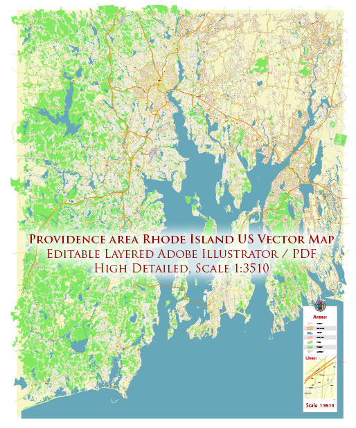
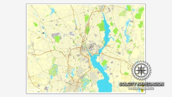
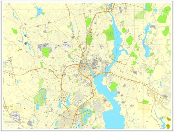
Providence, Rhode Island, is the capital and largest city in the state. It’s known for its rich history, vibrant arts scene, and diverse neighborhoods. Here’s a brief overview of some of the city’s districts and neighborhoods:
- Downtown: Downtown Providence is the city’s economic and cultural hub. It’s home to numerous office buildings, entertainment venues, and institutions like Brown University and the Rhode Island School of Design (RISD). Waterplace Park, with its picturesque river walks, is a prominent feature. The neighborhood also includes the financial district, where you’ll find many businesses and government offices.
- Federal Hill: Known as Providence’s “Little Italy,” Federal Hill is famous for its excellent Italian restaurants and bakeries. It’s a lively and vibrant neighborhood, with a strong sense of community. The area is also known for its annual festivals and events.
- East Side: The East Side is a predominantly residential area known for its historic homes, tree-lined streets, and an academic influence from Brown University and RISD. It’s divided into several neighborhoods, including College Hill and Fox Point. Thayer Street, located near Brown University, offers a range of shops, restaurants, and cafes.
- West End: The West End is an ethnically diverse neighborhood with a mix of historic homes and affordable housing. It’s known for its cultural and artistic vibrancy and has a growing number of art galleries and community events.
- Elmwood: Located to the south of downtown, Elmwood is a diverse neighborhood with a mix of residential and commercial properties. It’s home to Roger Williams Park, which features a zoo, gardens, and a museum.
- Olneyville: This neighborhood is known for its industrial past and is home to several mills and factories. In recent years, it has seen some revitalization with the emergence of art spaces and creative businesses.
- Mount Pleasant: Located in the northern part of the city, Mount Pleasant is a predominantly residential area with a suburban feel. It offers a mix of housing options, including single-family homes and apartments.
- Smith Hill: Smith Hill is a neighborhood with a mix of residential and commercial properties. It’s also home to the Rhode Island State House and the Providence Amtrak station.
- South Providence: South Providence is one of the most ethnically diverse neighborhoods in the city, with a strong sense of community. It has a mix of residential, commercial, and industrial areas.
- Jewelry District: This area, located to the east of downtown, was historically known for its jewelry manufacturing. In recent years, it has become a hub for medical and educational institutions, including Brown University’s medical school and the University of Rhode Island’s nursing program.
- Wanskuck: Located in the northern part of the city, Wanskuck is a predominantly residential neighborhood with a mix of housing types and easy access to the Wanskuck Library and nearby parks.
Keep in mind that Providence is a city with a rich history and diverse communities. Each neighborhood has its unique character and charm, making it a fascinating place to explore and live. The city offers a wide range of cultural events, restaurants, and recreational opportunities for residents and visitors alike.


 Author: Kirill Shrayber, Ph.D. FRGS