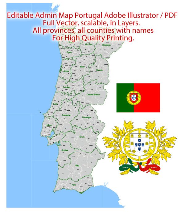
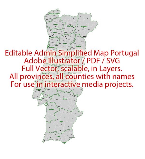
Portugal is a country located in the southwestern part of Europe on the Iberian Peninsula. It is divided into several administrative territories, each with its own unique characteristics and significance. Here is a description of Portugal’s main administrative territories:
- Continental Portugal: This is the main part of Portugal, comprising the mainland and bordering Spain to the east. It is further divided into 18 districts, each of which has its own distinct culture, geography, and administrative responsibilities.
a. Lisbon District: This district includes the capital city, Lisbon. It is the most populous and economically developed region in the country.
b. Porto District: This district encompasses the city of Porto, Portugal’s second-largest city, and is known for its industrial and commercial significance.
c. Faro District: Located in the southern region of the country, this district includes the popular tourist destination of the Algarve with its beautiful beaches.
d. Coimbra District: Home to the historic city of Coimbra, known for its universities and cultural heritage.
e. Aveiro District: Famous for its scenic canals and the picturesque city of Aveiro.
- Autonomous Regions:
a. Madeira: An archipelago in the Atlantic Ocean, Madeira is an autonomous region of Portugal and a popular tourist destination, known for its natural beauty, including lush landscapes and mild climate.
b. Azores: Located further west in the Atlantic, the Azores is another autonomous region known for its stunning volcanic landscapes and unique culture.


 Author: Kirill Shrayber, Ph.D. FRGS