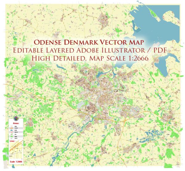
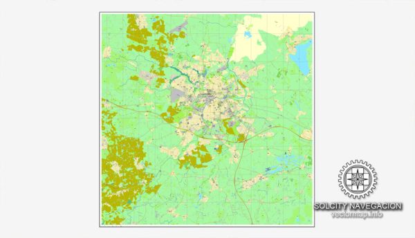
Odense is the third-largest city in Denmark and is located on the island of Funen (Fyn in Danish). It is a charming and historic city with various neighborhoods and districts, each offering a unique atmosphere and amenities. Here are some descriptions of some of Odense’s city districts and neighborhoods:
- City Center (Centrum):
- The heart of Odense, this area is filled with historical buildings, shops, and cultural attractions.
- Hans Christian Andersen’s childhood home and museum are located here, making it a significant tourist destination.
- It’s a bustling area with a mix of residential and commercial properties, as well as various dining and entertainment options.
- Vesterbro:
- Located to the west of the city center, Vesterbro is a predominantly residential district.
- The neighborhood features parks, schools, and various housing options, from apartments to single-family homes.
- It’s known for its green spaces and a quieter atmosphere compared to the city center.
- Østerbro:
- Situated to the east of the city center, Østerbro is another residential district.
- It has a mix of older and newer housing, parks, and local amenities.
- The district is also home to the University of Southern Denmark, attracting students and creating a youthful atmosphere.
- Nørrebro:
- Located north of the city center, Nørrebro is known for its diverse and vibrant atmosphere.
- This area is rich in cultural diversity and features a variety of restaurants, cafes, and shops.
- It’s a popular place for young professionals and students due to its lively scene.
- Sankt Hans/Skibhuskvarteret:
- To the south of the city center, you’ll find the Sankt Hans and Skibhuskvarteret neighborhoods.
- These areas offer a mix of residential and commercial spaces, as well as parks and recreational opportunities.
- The Odense Zoo is also located here, making it a popular spot for families.
- Dalum:
- Situated to the northeast of the city center, Dalum is a suburban neighborhood with a mix of housing options.
- It’s known for its peaceful atmosphere, making it a popular choice for families.
- The district also features parks and schools.
- Tarup:
- Located to the northwest of Odense, Tarup is another suburban area.
- It has a mix of housing types, schools, and local shops.
- The neighborhood offers a quieter and more relaxed lifestyle.
- Tornbjerg:
- Tornbjerg is a modern and primarily residential district in the northern part of Odense.
- It features modern housing developments, schools, and parks.
- The district has a more suburban feel, with easy access to the city center.
These descriptions provide an overview of some of the districts and neighborhoods in Odense, but the city is diverse, and each area has its unique character. Depending on your preferences and needs, you can find a neighborhood that suits your lifestyle, whether you’re looking for a bustling city atmosphere or a quieter suburban setting.


 Author: Kirill Shrayber, Ph.D. FRGS