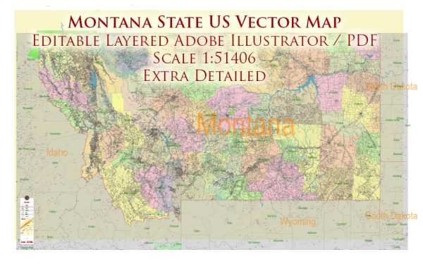
Montana is a state located in the western United States. Here’s an overview of Montana’s socio-economic characteristics:
- Population: Montana has a relatively low population compared to its large land area. In 2023, the estimated population was around 1.08 million people. The state is known for its wide-open spaces and vast rural areas.
- Economy: The state’s economy is diverse, with key sectors including agriculture, mining, energy production, tourism, and technology. Agriculture in Montana primarily includes cattle ranching, wheat farming, and barley production. The state is also known for its mineral resources, including coal, copper, and precious metals. The tourism industry is a significant contributor to the economy, driven by Montana’s stunning natural landscapes, national parks (such as Glacier and Yellowstone), and outdoor recreational opportunities.
- Unemployment: Unemployment rates in Montana have historically been relatively low, but they can vary by region. The state’s job market includes opportunities in agriculture, healthcare, education, and tourism.
- Income: Montana’s median household income has typically been below the national average, although it can vary depending on the location within the state. The cost of living is generally lower than in many urban areas on the coasts.
- Education: Montana has a well-regarded public education system, with a network of K-12 schools and public universities. The University of Montana and Montana State University are the two largest public universities in the state.
- Healthcare: Access to healthcare in Montana can be challenging in some rural areas. Major cities like Billings and Missoula have well-established healthcare facilities, but more remote regions may have limited access to medical services.
- Demographics: Montana’s population is predominantly of European descent, with smaller Native American, Hispanic, and other minority populations. The state has a significant Native American presence, with several reservations, including the Blackfeet, Crow, and Northern Cheyenne.
- Rural-Urban Divide: Montana has a significant rural-urban divide. While cities like Billings, Missoula, and Bozeman have more diversified economies, rural areas tend to rely on agriculture and natural resource-based industries.
- Environment: Montana is known for its pristine natural environment, including mountains, forests, and rivers. The state’s environmental policies often focus on preserving these natural resources while allowing for responsible resource development.


 Author: Kirill Shrayber, Ph.D. FRGS