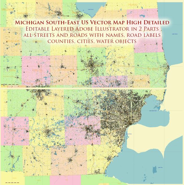
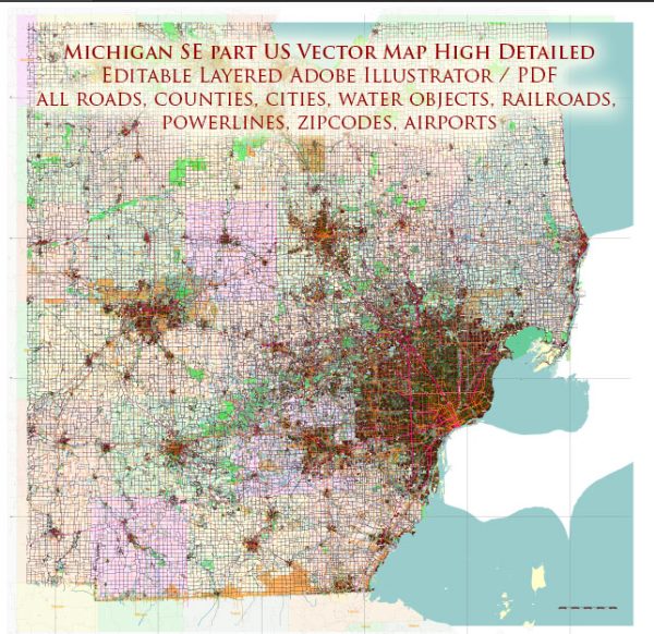
Michigan, located in the Great Lakes region of the United States, is known for its abundant water resources, including the Great Lakes themselves. The southeastern part of Michigan, which includes cities like Detroit, Ann Arbor, and Flint, is no exception when it comes to water resources and bridges.
- Great Lakes: The southeastern part of Michigan is home to Lake Erie, one of the five Great Lakes. Lake Erie is a significant freshwater resource, offering opportunities for recreation, fishing, and shipping.
- Detroit River: The Detroit River, which connects Lake St. Clair to Lake Erie, is another vital waterway in the region. It serves as an international border between the United States and Canada and has several bridges, including the Ambassador Bridge and the Detroit-Windsor Tunnel, connecting Detroit to Windsor, Ontario.
- Flint River: The Flint River flows through the city of Flint in southeastern Michigan. This river has been historically important for the region, although it has faced water quality challenges in recent years.
- Huron River: The Huron River is another significant waterway in southeastern Michigan, running through Ann Arbor and the surrounding area. It offers recreational opportunities, including kayaking and fishing.
- Straits of Mackinac: While not in the southeastern part of the state, the Straits of Mackinac, located in the northern part of Michigan, is a crucial point for the state’s water resources. It connects Lake Huron and Lake Michigan and is traversed by the Mackinac Bridge, one of the longest suspension bridges in the world.
- Bridges: The southeastern part of Michigan has numerous bridges that play a critical role in transportation and connectivity. Some of the notable bridges in the region include the Ambassador Bridge (connecting Detroit and Windsor, Canada), the Belle Isle Bridge (connecting Belle Isle to Detroit), the Blue Water Bridge (connecting Port Huron to Sarnia, Canada), and various bridges that span the Detroit River and its tributaries.
These water resources and bridges are essential for transportation, trade, and recreation in southeastern Michigan, contributing to the region’s economic and social well-being. However, it’s important to note that the condition and management of these resources and infrastructure can change over time, so it’s advisable to consult local authorities or updated sources for the most current information.


 Author: Kirill Shrayber, Ph.D. FRGS