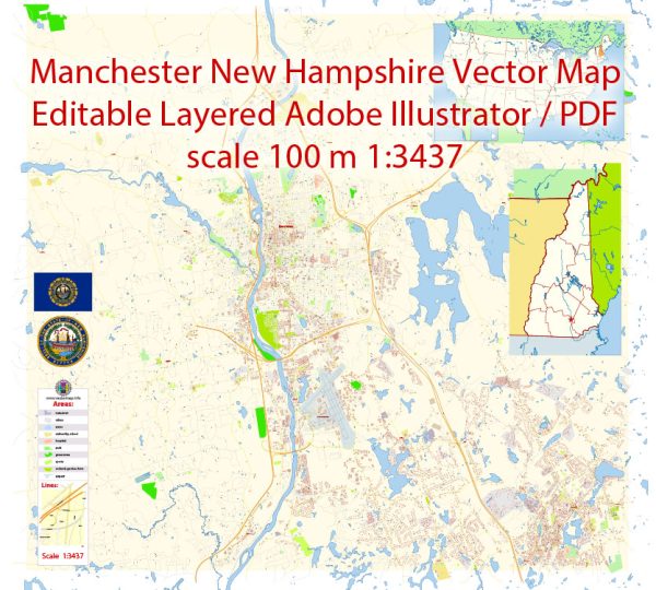
Manchester, New Hampshire, is located in Hillsborough County and is known for its water resources and bridges, as it is situated along the Merrimack River. The city’s water resources and bridges play a significant role in its history and infrastructure. Here’s some information about these aspects:
- Merrimack River: The Merrimack River is a prominent water resource in Manchester. It flows through the city, providing a source of freshwater for both recreational activities and industrial use. The river has been a vital element of the city’s economic development over the years.
- Amoskeag Falls: Manchester was originally settled at Amoskeag Falls, a natural waterfall on the Merrimack River. The falls provided hydraulic power for early industrialization, and the Amoskeag Manufacturing Company became one of the largest textile manufacturing facilities in the world during the 19th century.
- Bridges: Manchester is home to numerous bridges that span the Merrimack River and other waterways. Some notable bridges in the city include:
- Queen City Bridge: This is a historic bridge that connects downtown Manchester with the west side of the city.
- Notre Dame Bridge: Also known as the Bridge Street Bridge, it connects the east and west sides of the city.
- Granite Street Bridge: Another significant bridge in Manchester, offering access to various parts of the city.
- Hands Across the Merrimack Bridge: This pedestrian bridge connects downtown Manchester with the Millyard area and is named for the worker’s strike that took place at Amoskeag Mills in 1912.
- Riverwalk: The city has developed a Riverwalk along the banks of the Merrimack River, providing a scenic pathway for pedestrians to enjoy the waterfront. It offers beautiful views of the river, bridges, and the surrounding natural landscape.
These water resources and bridges have not only shaped the city’s history but also contribute to its identity and provide important transportation and recreational opportunities for residents and visitors alike.


 Author: Kirill Shrayber, Ph.D. FRGS