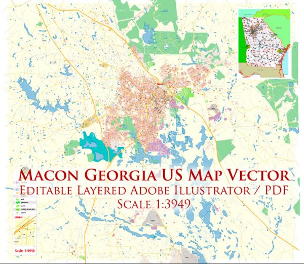
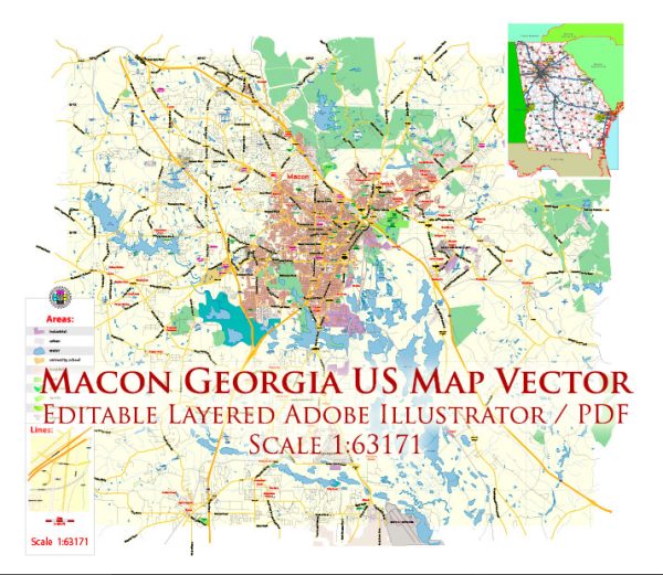
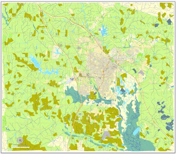
Macon, Georgia, is a city located in the southeastern United States and is situated in Bibb County. The city is home to several water resources and bridges, which are essential for transportation and infrastructure. Here is some information about the water resources and bridges in Macon:
- Ocmulgee River: The Ocmulgee River flows through Macon, providing a significant water resource for the city. It is a tributary of the Altamaha River and plays a vital role in the region’s ecology and water supply.
- Lake Tobesofkee: Located just west of Macon, Lake Tobesofkee is a man-made reservoir formed by damming Tobesofkee Creek. It serves as a recreational area for boating, fishing, and swimming.
- Bridges: Macon has several bridges that cross various bodies of water, including the Ocmulgee River and its tributaries. Some of the notable bridges in Macon include:
- Spring Street Bridge: This historic bridge crosses the Ocmulgee River in downtown Macon. It is an iconic structure with a unique design and architectural significance.
- Pierce Avenue Bridge: Another bridge over the Ocmulgee River, the Pierce Avenue Bridge connects the neighborhoods on the east and west sides of the city.
- Riverside Drive Bridge: This bridge spans the Ocmulgee River as part of Riverside Drive, providing a crucial transportation link for the city.
- Pio Nono Avenue Bridge: This bridge crosses Walnut Creek, a tributary of the Ocmulgee River, and is an important road connection in Macon.
- Bass Road Bridge: Located near Lake Tobesofkee, this bridge connects the eastern and western sides of the lake, allowing for easy access to the recreational facilities.
These bridges are essential for local transportation and serve as vital links for residents and visitors, facilitating the movement of people and goods across the city and its waterways. The water resources in Macon contribute to the overall quality of life in the area, providing opportunities for outdoor recreation, fishing, and a source of freshwater for the community.


 Author: Kirill Shrayber, Ph.D.