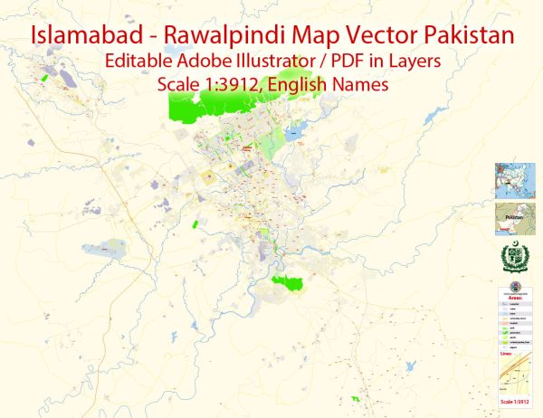
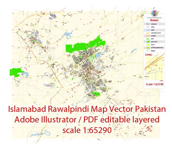
Islamabad and Rawalpindi are two distinct cities located in Pakistan, but they are often referred to as the “Twin Cities” because of their close proximity and interconnectedness. Each city has its own districts and neighborhoods, and I’ll provide a brief description of some of the major ones in both cities:
Islamabad:
- Blue Area: This is the central business district of Islamabad, known for its high-rise buildings, corporate offices, banks, and shopping centers.
- F-6, F-7, F-8, F-10: These are some of the upscale residential areas in Islamabad, with large houses, embassies, and diplomatic missions.
- G-5, G-6, G-7, G-8: These are older residential sectors close to the government and administrative offices in Islamabad.
- Diplomatic Enclave: This area is home to various foreign embassies and diplomatic missions.
- E-7 (F-7 Park): Known for its greenery, parks, and upscale residences, E-7 is a popular residential sector.
- G-11, G-10, G-9: These are residential sectors with a mix of housing options, including apartments and houses.
- F-6 Markaz and F-7 Markaz: These are commercial centers where you can find a wide range of shops, restaurants, and cafes.
- D-12, G-13, G-14: These sectors are known for a mix of residential options, schools, and markets.
Rawalpindi:
- Saddar: The city center of Rawalpindi, Saddar is a bustling commercial and shopping district with markets, restaurants, and historical sites.
- Rawalpindi Cantt (Cantonment): This area is known for its military presence, and it includes both residential and commercial areas.
- Pindi Gheb: A historic area with agricultural significance located to the southwest of Rawalpindi.
- Chaklala: Part of Rawalpindi Cantt, Chaklala is a prominent residential and commercial area with a military base.
- Westridge: This area includes a mix of housing options and is located near the city center.
- Raja Bazaar: A busy and crowded market area with a variety of shops and street vendors.
- Committee Chowk: Another commercial and transport hub in Rawalpindi, where you can find various shops and businesses.
- Satellite Town: A well-planned residential area in Rawalpindi with wide streets and parks.
Both cities offer diverse neighborhoods catering to various preferences and lifestyles, whether you’re looking for a quiet residential area, a bustling commercial district, or historical and cultural sites. Keep in mind that these descriptions provide a general overview, and the character of each neighborhood may vary within its boundaries.


 Author: Kirill Shrayber, Ph.D. FRGS