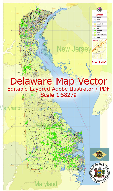
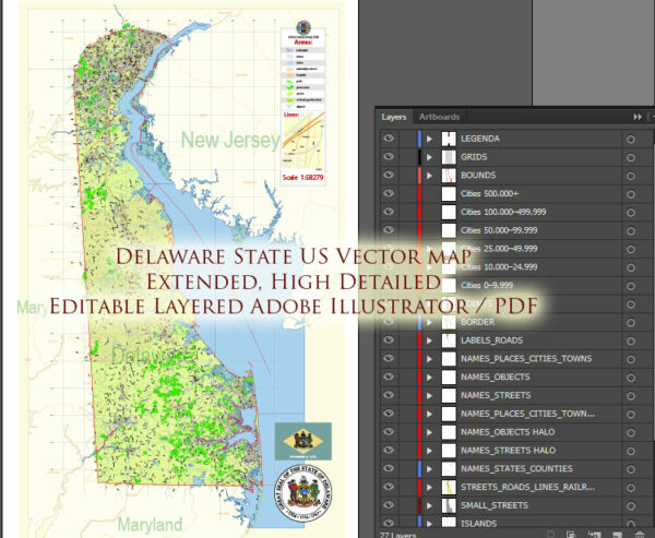
Delaware, as a small state in the United States, has several water resources and bridges that play a crucial role in its transportation and infrastructure. Here’s an overview of some of the key water resources and notable bridges in the state:
Water Resources:
- Delaware River: The Delaware River forms the state’s eastern border and is a major water resource. It provides a source of freshwater for the state and supports various recreational activities, including fishing and boating.
- Chesapeake Bay: Delaware’s northern border is formed by the Chesapeake Bay, which is the largest estuary in the United States. The bay provides habitat for diverse wildlife and is important for commercial and recreational fishing.
- Inland Bays: Delaware is known for its inland bays, including Rehoboth Bay, Indian River Bay, and Little Assawoman Bay. These bays are popular destinations for boating, fishing, and other water-based recreational activities.
- Atlantic Ocean: Delaware’s eastern border is the Atlantic Ocean, which provides beautiful beaches and supports the state’s tourism industry.
Bridges:
- Delaware Memorial Bridge: This twin-span suspension bridge crosses the Delaware River and connects Delaware to New Jersey. It is a critical transportation link for the region and serves as a gateway for travelers heading to and from the northeastern United States.
- Indian River Inlet Bridge: Located near Rehoboth Beach, this cable-stayed bridge spans the Indian River Inlet, providing access to Delaware Seashore State Park and the surrounding areas.
- Roth Bridge: Also known as the Senator William V. Roth, Jr. Bridge, it carries Interstate 95 over the Chesapeake and Delaware Canal. This bridge is a crucial part of the East Coast transportation network.
- St. Georges Bridge: This bridge spans the Chesapeake and Delaware Canal, connecting the communities of St. Georges and Delaware City. It provides a key transportation route in northern Delaware.
- C&D Canal Railroad Bridge: This vertical lift bridge crosses the Chesapeake and Delaware Canal and serves both rail and road traffic. It plays a vital role in the movement of goods and people in the region.
- Rehoboth Beach Boardwalk: While not a traditional bridge, the Rehoboth Beach Boardwalk is an iconic elevated walkway that stretches along the beachfront. It provides a scenic path for pedestrians and cyclists.
These are just a few of the water resources and bridges in Delaware. The state’s waterways and bridge infrastructure are essential for its economy, transportation, and the quality of life for its residents and visitors.


 Author: Kirill Shrayber, Ph.D. FRGS