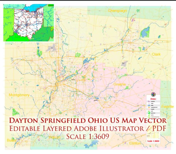
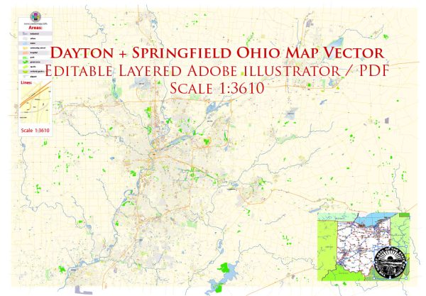
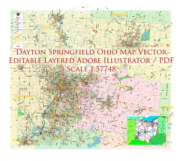
The Dayton-Springfield area in Ohio, United States, is situated along the Great Miami River, and as such, it has various water resources and bridges that play a crucial role in transportation, commerce, and recreation. Here is some information about water resources and bridges in this region:
Water Resources:
- Great Miami River: The Great Miami River flows through the Dayton-Springfield area. It is an important waterway for both recreational activities like boating and fishing and for industrial and municipal water supply.
- Mad River: The Mad River is another significant river in the region that flows into the Great Miami River near Dayton. It also provides opportunities for outdoor activities and is an important water source.
- Lakes and Reservoirs: There are several lakes and reservoirs in the area, such as Caesar Creek Lake and Buck Creek State Park. These provide opportunities for boating, fishing, and camping.
- Groundwater: The region relies on groundwater for municipal water supply. The aquifers beneath the Dayton-Springfield area are essential sources of clean drinking water.
Bridges:
- Main Street Bridge (Dayton): The Main Street Bridge is a historic truss bridge that spans the Great Miami River in downtown Dayton. It offers picturesque views of the city and is an important transportation link.
- Keowee Street Bridge (Dayton): The Keowee Street Bridge is another bridge crossing the Great Miami River in Dayton. It serves as a major transportation route.
- Helena Street Bridge (Dayton): The Helena Street Bridge is an example of a bascule bridge that allows for navigation on the river. It connects the eastern and western parts of Dayton.
- I-70 Bridges: The Interstate 70 (I-70) crosses both the Great Miami River and Mad River in the Dayton-Springfield area. These bridges are vital for interstate transportation.
- Springfield Bridges: In Springfield, various bridges cross over the Mad River and Buck Creek, providing connectivity within the city.
These water resources and bridges are essential to the Dayton-Springfield area, serving both practical purposes for transportation and infrastructure as well as offering recreational opportunities for residents and visitors. Please note that the status and condition of these water resources and bridges may change over time, so it’s a good idea to consult local authorities or resources for the most up-to-date information.


 Author: Kirill Shrayber, Ph.D.