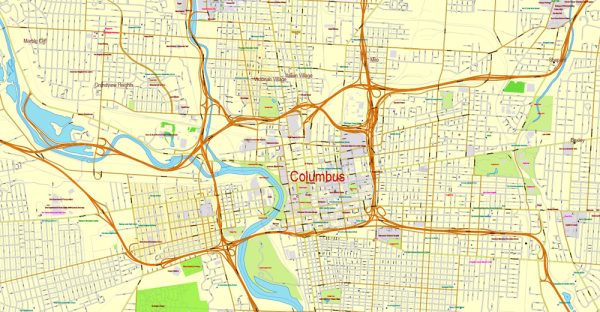
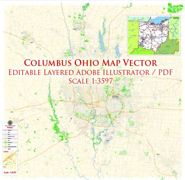
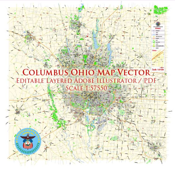
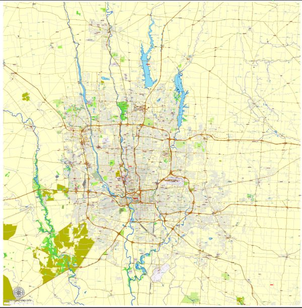
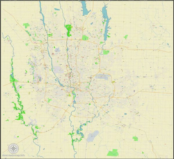
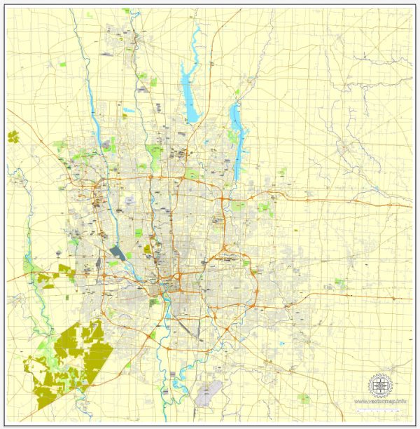
Columbus, Ohio is the capital and largest city in the state of Ohio, and it is home to a variety of neighborhoods and districts, each with its own unique character and amenities. Keep in mind that this information is based on my knowledge up to September 2021, and the city may have evolved since then.
- Downtown Columbus:
- The heart of the city, known for its vibrant arts and culture scene.
- The Arena District is home to Nationwide Arena and several restaurants and bars.
- The Short North Arts District is known for its galleries, boutiques, and nightlife.
- RiverSouth is an up-and-coming area along the Scioto River.
- German Village:
- A historic neighborhood with well-preserved 19th-century brick houses.
- Known for its charming cobblestone streets and European feel.
- Features numerous restaurants, shops, and Schiller Park.
- University District:
- Home to The Ohio State University, so it has a youthful and energetic atmosphere.
- Offers a wide range of dining options, bars, and cultural events.
- The neighborhood of Clintonville, just north of campus, is known for its family-friendly atmosphere and beautiful parkland.
- Short North:
- An artsy and trendy area known for its art galleries and boutiques.
- Features numerous restaurants and bars, making it a popular nightlife spot.
- Grandview Heights:
- A charming and walkable suburb with a mix of residential and commercial areas.
- Known for its excellent schools and community events.
- Bexley:
- A leafy, upscale suburb with a strong sense of community.
- Features beautiful tree-lined streets and grand homes.
- Clintonville:
- A diverse and friendly neighborhood known for its community events and local farmers’ markets.
- Features beautiful parkland, including Whetstone Park and Park of Roses.
- Dublin:
- A suburb northwest of Columbus, known for its vibrant business community.
- Home to the annual Dublin Irish Festival and upscale housing.
- Worthington:
- A historic suburb with a charming downtown area and strong sense of community.
- Known for its farmers’ market, local shops, and cultural events.
- Hilliard:
- A family-friendly suburb known for its excellent schools and parks.
- Offers a mix of housing options and is a growing area.
- Gahanna:
- A suburb to the northeast of Columbus with a strong community focus.
- Known for its Creekside Park and beautiful Olde Gahanna downtown area.
- Reynoldsburg:
- A suburb to the east of the city, known for its annual Tomato Festival.
- Offers a mix of housing options and local amenities.
- Westerville:
- A northeast suburb with a historic downtown and Otterbein University.
- Offers a small-town atmosphere with access to urban amenities.
These are just a few of the many neighborhoods and suburbs in Columbus, each offering its own unique character and amenities. Columbus is a diverse and growing city with something to offer for a wide range of residents and visitors.


 Author: Kirill Shrayber, Ph.D. FRGS