Austria is a federal republic located in Central Europe. It is known for its stunning alpine landscapes, historic cities, and rich cultural heritage. The country is divided into several administrative units, which are organized into three levels: federal, state, and municipal.
- Federal Level:
- Federal President: Austria is a parliamentary democracy, and the federal president serves as the head of state. As of my last knowledge update in September 2021, the President of Austria was Alexander Van der Bellen.
- Federal Government: The federal government is responsible for national affairs, including foreign policy, defense, and justice. The head of government is the Chancellor. Sebastian Kurz was the Chancellor as of my last update in 2021.
- Federal Parliament: The Austrian Parliament (Österreichisches Parlament) is the legislative body at the federal level and consists of two chambers: the National Council (Nationalrat) and the Federal Council (Bundesrat). The National Council is the lower house and is directly elected by the people, while the Federal Council represents the federal states.
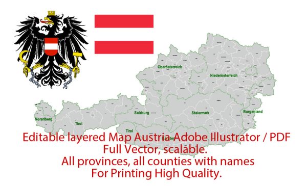
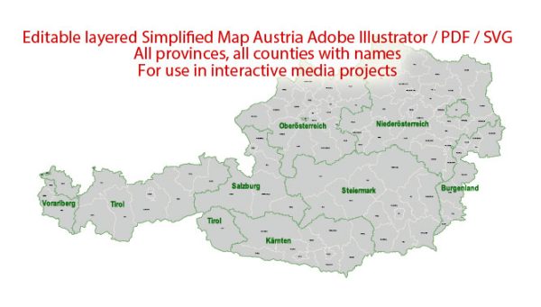
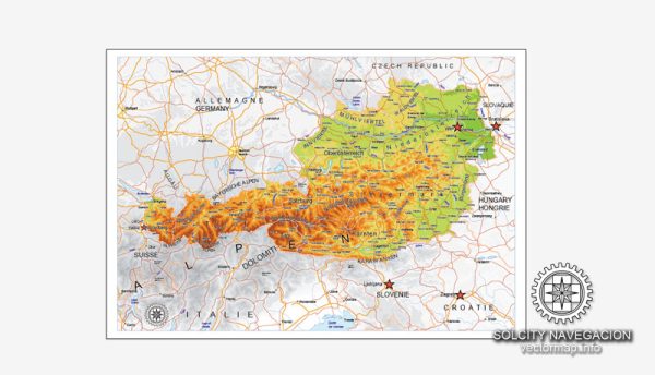
- State Level: Austria is divided into nine federal states (Bundesländer), each of which has its own government responsible for matters that pertain to the respective state. The nine states are:
- Burgenland
- Carinthia (Kärnten)
- Lower Austria (Niederösterreich)
- Upper Austria (Oberösterreich)
- Salzburg
- Styria (Steiermark)
- Tyrol (Tirol)
- Vorarlberg
- Vienna (Wien)
Each state has its own governor (Landeshauptmann) and legislature (Landtag) responsible for regional matters, such as education, transportation, and cultural affairs.
- Municipal Level: Below the state level, Austria is further divided into municipalities (Gemeinden), which handle local governance. Municipalities can vary significantly in size, from small rural villages to larger urban areas.
Austria is known for its efficient and decentralized administrative system, which allows for a high degree of regional autonomy. The country also maintains a strong tradition of cultural and linguistic diversity, with several official languages including German, Slovene, and Croatian in regions with significant minority populations.
Please note that there may have been changes or developments in Austria’s administrative structure since my last knowledge update in September 2021. It’s advisable to consult more recent sources for the latest information.

 Author: Kirill Shrayber, Ph.D. FRGS