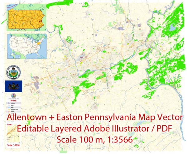
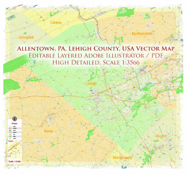
Allentown and Easton are two cities in the eastern part of Pennsylvania, and both are located along the Lehigh River. They have several water resources and bridges in their respective areas.
Water Resources:
- Lehigh River: The Lehigh River flows through both Allentown and Easton. It is a significant water resource in the region and provides water for various purposes, including recreation, industrial use, and drinking water supply.
- Delaware Canal: The Delaware Canal, also known as the Delaware Division of the Pennsylvania Canal, runs through Easton. This historic canal once played a vital role in transportation in the region and is now a scenic waterway used for recreation.
- Bushkill Creek: This creek is a tributary of the Delaware River and flows through the Easton area. It is an important water resource for the region.
Bridges:
- Free Bridge (Easton-Phillipsburg Toll Bridge): This bridge connects Easton, Pennsylvania, to Phillipsburg, New Jersey, spanning the Delaware River. It is a toll bridge and an important transportation link between the two states.
- Northampton Street Bridge: Also known as the Easton-Phillipsburg Toll Bridge, this bridge connects Easton with Phillipsburg, New Jersey, and provides a vital transportation link between the two communities.
- Fahy Bridge: The Fahy Bridge spans the Lehigh River in Bethlehem, which is near Allentown. While it is not located directly in Allentown or Easton, it is an essential bridge for the region’s transportation network.
- Tilghman Street Bridge: This bridge spans the Lehigh River in Allentown, providing a key connection within the city.
- Hamilton Street Bridge: Another bridge in Allentown, the Hamilton Street Bridge crosses the Lehigh River, facilitating travel within the city.
These are some of the notable water resources and bridges in the Allentown-Easton region of Pennsylvania. Both cities are situated along waterways, making their water resources and bridges vital for transportation, commerce, and recreation.


 Author: Kirill Shrayber, Ph.D. FRGS