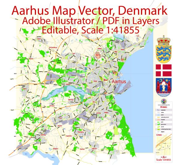
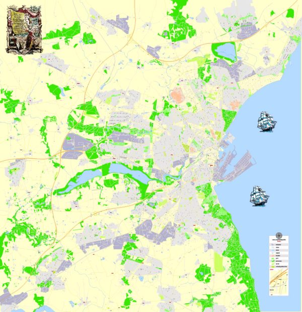
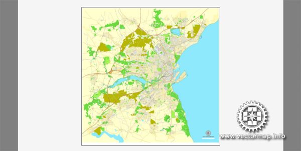
Aarhus, Denmark, is divided into several districts and neighborhoods. The city is the second-largest in Denmark and serves as the capital of the Central Denmark Region. Here are some of the major districts and neighborhoods in Aarhus:
- City Center (Midtbyen): This is the heart of Aarhus, where you’ll find the historic old town, shops, restaurants, and cultural attractions like Aarhus Cathedral and Aarhus City Hall.
- Åbyhøj: Located just south of the city center, Åbyhøj is a residential district with a mix of housing and green spaces.
- Viby: A southern suburb with a mix of residential and industrial areas.
- Trøjborg: A lively district located northeast of the city center, known for its beautiful houses, cafes, and the beach at Den Permanente.
- Risskov: A suburban area north of Aarhus, famous for its beach and green spaces.
- Højbjerg: Situated south of Aarhus, this district has a mix of residential areas and shopping centers.
- Skejby: Known for the Aarhus University Hospital, this district is located to the northeast of the city center.
- Brabrand: A suburban district with a mix of housing and commercial areas.
- Gellerup: Located to the west of Aarhus, it is known for its modernist architecture and is home to Gellerupparken, one of the largest residential areas in Denmark.
- Tilst: Situated to the northwest, Tilst is a residential district with various amenities and schools.
- Højbjerg: This district is found to the south and offers a mix of residential and commercial areas.
- Hasle: A district in the northern part of the city, known for its mix of housing, parks, and schools.
- Lisbjerg: Located to the north of Aarhus, it’s a growing residential area.
- Skejby: Known for Aarhus University Hospital and is situated to the northeast of the city center.
These are some of the main districts and neighborhoods in Aarhus, but there are more areas that make up this vibrant and diverse city. Each district has its unique character and offers various amenities to residents and visitors.


 Author: Kirill Shrayber, Ph.D. FRGS