Columbus, Ohio, offers a variety of natural landscapes and outdoor experiences, despite being a bustling metropolitan area. The city and its surrounding regions provide a balance between urban living and access to nature. Here is a description of the natural features and outdoor opportunities you can find in and around Columbus:
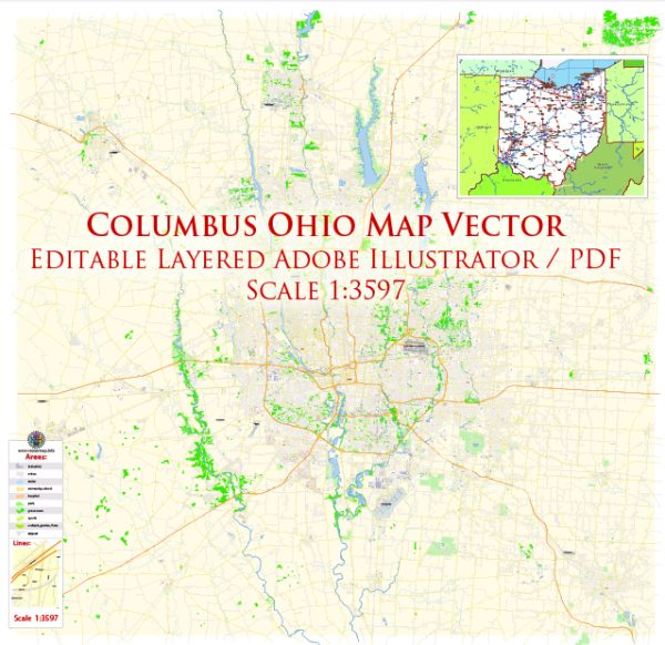
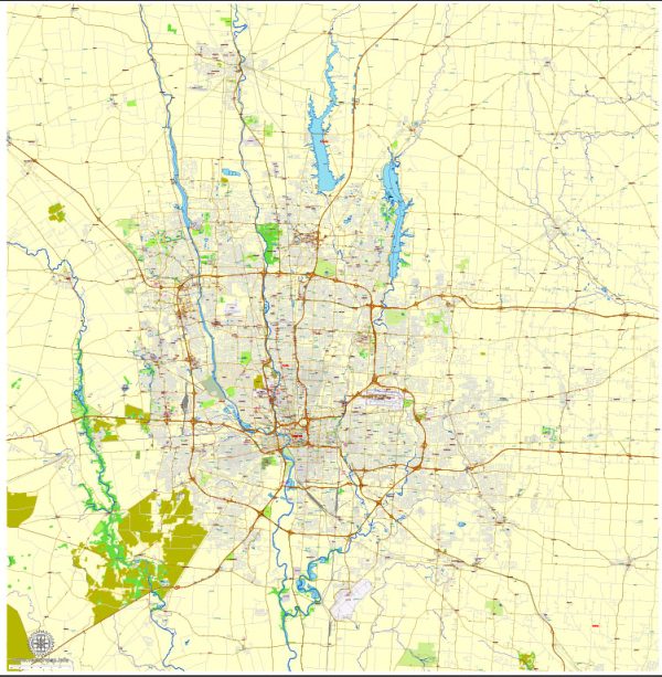
- Metro Parks: Columbus is known for its extensive system of Metro Parks. These parks are scattered throughout the city and its suburbs, providing ample opportunities for hiking, biking, picnicking, and birdwatching. Some of the most popular Metro Parks include Highbanks, Blendon Woods, and Battelle Darby Creek.
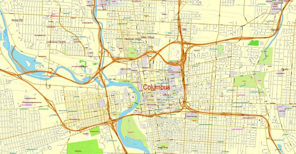
- Rivers and Waterways: The Scioto River flows through the heart of Columbus, offering beautiful riverfront parks and recreational opportunities. You can enjoy kayaking, canoeing, and paddleboarding on the Scioto River, which is also lined with scenic trails.
- Natural Reserves: Just a short drive from Columbus, you can explore natural reserves like the Clear Creek Metro Park and Blackhand Gorge. These areas are excellent for hiking and provide a sense of wilderness not far from the city.
- Cultural Gardens: The Franklin Park Conservatory and Botanical Gardens showcase a wide variety of plant species, including tropical and desert collections. It’s a great place to explore diverse flora and learn about plant conservation.
- Seasonal Changes: Columbus experiences all four seasons, so you can enjoy different natural experiences throughout the year. Spring brings blooming cherry blossoms and dogwood trees, while the fall foliage in the nearby countryside is stunning. Winter provides opportunities for ice skating and snow-related activities.
- Wildlife: Columbus is home to various wildlife species, including white-tailed deer, red foxes, and a variety of bird species. Birdwatchers will find plenty of opportunities to spot local and migratory birds.
- Botanical Gardens: The city is home to several botanical gardens, such as the Whetstone Park of Roses and Inniswood Metro Gardens, where you can explore beautiful flower displays and well-maintained gardens.
- Bike Trails: Columbus boasts an extensive network of bike trails, including the Olentangy Trail and Scioto Mile. These trails offer scenic routes along the river and through wooded areas, making them perfect for cyclists and pedestrians.
- Festivals and Events: Throughout the year, Columbus hosts various outdoor festivals and events. One notable event is the Columbus Arts Festival, held along the Scioto River, which features art displays, live music, and food vendors.
- Arboretums: The Chadwick Arboretum and Learning Gardens at Ohio State University is a beautiful place to explore a wide range of trees and plants. It’s not only educational but also a peaceful spot for a nature walk.
Columbus, Ohio, is a city that offers a diverse range of natural experiences and outdoor activities, making it a great place for both nature enthusiasts and urban dwellers looking to connect with the outdoors.


 Author: Kirill Shrayber, Ph.D. FRGS