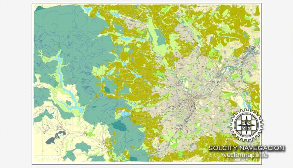
Sheffield, UK has several principal streets and roads that are important for transportation and commerce. Here are some of the major streets and roads in Sheffield:
- High Street: High Street is one of Sheffield’s main shopping streets in the city center.
- Fargate: Fargate is a pedestrianized shopping street located in the heart of Sheffield.
- Division Street: Division Street is known for its vibrant nightlife, with numerous bars, restaurants, and shops.
- West Street: West Street is another popular nightlife destination with a variety of bars and clubs.
- Ecclesall Road: Ecclesall Road is a major road with a wide range of shops, restaurants, and bars. It’s especially popular with students from the nearby universities.
- London Road: London Road is a significant route that connects the city center to the neighborhoods in the south of Sheffield.
- Moorfoot: Moorfoot is a street located near the city center, housing various offices and government buildings.
- Arundel Gate: Arundel Gate is a key junction in Sheffield, connecting several major roads.
- Queens Road: Queens Road runs through the western part of Sheffield and is home to various businesses and residential areas.
- Shoreham Street: Shoreham Street is a road in the city known for its proximity to the Sheffield United Football Club’s stadium, Bramall Lane.
- Penistone Road: Penistone Road is an important route connecting the city center to the northwestern parts of Sheffield.
- Attercliffe Road: Attercliffe Road runs through the Attercliffe district and has a history associated with industry and commerce.
These are just a few of the principal streets and roads in Sheffield. The city’s road network is extensive and includes many more streets and avenues that play crucial roles in transportation and urban life.


 Author: Kirill Shrayber, Ph.D. FRGS