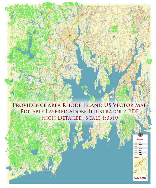
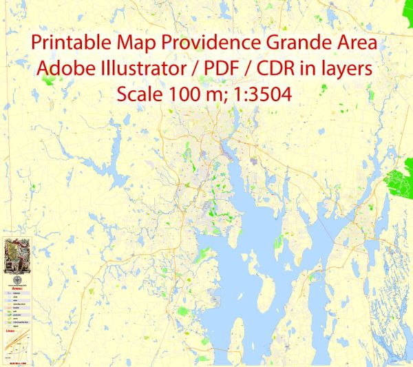
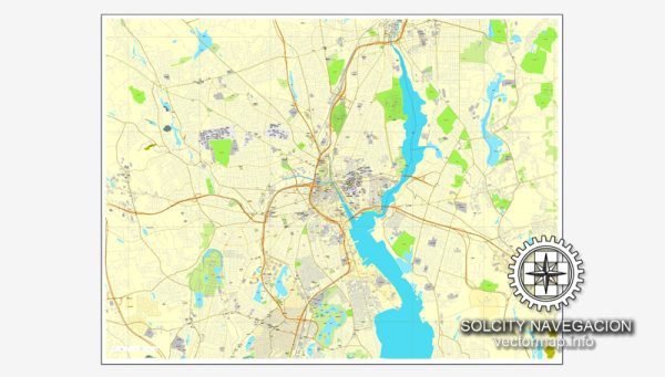
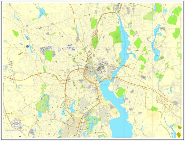
Providence, Rhode Island, is a historic city with a well-defined street grid. Here are some of the principal streets and avenues in Providence:
- Westminster Street: This is one of the city’s main commercial streets, with many shops, restaurants, and businesses. It’s located in the heart of downtown Providence.
- Broad Street: Broad Street is a major thoroughfare running through several neighborhoods in the southern part of the city, known for its diverse communities and businesses.
- North Main Street: North Main Street runs north-south through the city and offers access to various neighborhoods, including College Hill and Fox Point.
- South Main Street: South Main Street is another key north-south route in Providence, extending through downtown and the Jewelry District.
- Eddy Street: Eddy Street connects the Jewelry District with the hospital district and is home to several medical facilities.
- Thayer Street: Located on College Hill, Thayer Street is known for its shops, cafes, and proximity to Brown University and the Rhode Island School of Design (RISD).
- Hope Street: Hope Street is another well-known street on the East Side of Providence, offering various shops and restaurants and leading to the Hope Street Village area.
- Atwells Avenue: Located in the Federal Hill neighborhood, Atwells Avenue is famous for its Italian restaurants and culture.
- Smith Street: Smith Street is a major road running north from downtown through various neighborhoods.
- Elmwood Avenue: Elmwood Avenue is a principal street running through the Elmwood and South Elmwood neighborhoods, providing access to Roger Williams Park.
- Charles Street: Charles Street connects various neighborhoods in the northern part of Providence, including Wanskuck and Mount Pleasant.
- Valley Street: Valley Street runs through the western part of the city, connecting several neighborhoods and leading to Olneyville Square.
- Allens Avenue: This avenue is located along the waterfront in the southern part of Providence and is home to various businesses and industries.
These are just a few of the principal streets in Providence. The city has a well-structured grid system, making it relatively easy to navigate. Keep in mind that Providence also has numerous smaller streets and historic areas that contribute to the city’s unique character and charm.


 Author: Kirill Shrayber, Ph.D. FRGS