Albany, California
Motto: Urban Village by the Bay
Location in Alameda County and the state of California
Coordinates: 37°53′13″N 122°17′52″WCoordinates: 37°53′13″N 122°17′52″W
Country United States
State California
County Alameda County
Incorporated September 22, 1908
Area
• Total 5.47 sq mi (14.16 km2)
• Land 1.79 sq mi (4.64 km2)
• Water 3.68 sq mi (9.52 km2) 67.28%
Elevation 43 ft (13 m)
Population (2020)
• Total 20,271
• Density 11,324.58/sq mi (4,372.49/km2)
Time zone UTC−8 (PST)
• Summer (DST) UTC−7 (PDT)
ZIP Codes
94706, 94707, 94710
Area codes 510, 341
FIPS code 06-00674
GNIS feature IDs 1657902, 2409674
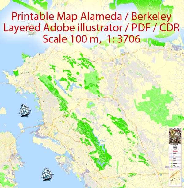
Albany is a city on the east shore of San Francisco Bay in northwestern Alameda County, California.
The population was 20,271 at the 2020 census.
Geography
According to the United States Census Bureau, the city has a total area of 5.5 square miles (14 km2),
of which 1.8 square miles (4.7 km2) is land and 3.7 square miles (9.6 km2) (67.28%) is water.
The principal shopping street in Albany is Solano Avenue, which cuts across the city from west to east.
Another important street is San Pablo Avenue, which travels from north to south.
Albany is located on the eastern shore of San Francisco Bay, bordering the city of Berkeley
to the south and east, and the Contra Costa County cities of El Cerrito and Richmond to the north.
Albany’s northern and southern borders are defined by two creeks, Codornices Creek on the south and
Cerrito Creek on the north. Cerrito Creek takes its name from “El Cerrito de San Antonio”,
now known as Albany Hill. The hill’s unusual location near the bay shore makes it a prominent
landmark in the East Bay. The rest of the city is relatively flat by Bay Area standards, except
for a small area near the base of the Berkeley Hills.
Albany’s waterfront has undergone significant man-made changes; the most prominent landform
is now the Albany Bulb, a former garbage landfill jutting out into San Francisco Bay.
The bulb was the site of a small art colony and shanty town until it was cleared to turn
the area into part of the new Eastshore State Park.
University Village, a housing unit of the University of California Berkeley, is located in Albany.
Albany is a suburb of Oakland with a population of 20,145. Albany is in Alameda County and is one of the best places
to live in California. Living in Albany offers residents an urban suburban mix feel and most residents rent their homes.
In Albany there are a lot of bars, restaurants, coffee shops, and parks. Many families and young professionals
live in Albany and residents tend to be liberal. The public schools in Albany are highly rated.
Source: https://en.wikipedia.org/wiki/Albany,_California


 Author: Kirill Shrayber, Ph.D. FRGS