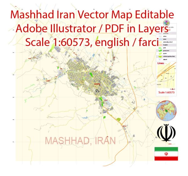
Mashhad, located in northeastern Iran, is the capital and largest city of Razavi Khorasan Province. It is one of the holiest cities in Iran and a major center of pilgrimage and religious significance for Shia Muslims. Mashhad’s history is closely tied to its religious importance and its development as a major cultural and economic center in the region. Here is a brief description of Mashhad’s history:
- Early History: Mashhad’s history dates back to ancient times, with some archaeological evidence suggesting human habitation in the area as far back as the 2nd millennium BCE. However, it was a relatively small and unremarkable settlement for most of its early history.
- Islamic Era: The city’s transformation began with the spread of Islam. During the 9th century, the city became a significant center for Islamic learning and culture. It gained importance as a hub of religious scholarship and attracted notable scholars and theologians.
- Shrine of Imam Reza: The pivotal moment in Mashhad’s history was the martyrdom of Imam Ali al-Ridha, the 8th Shia Imam, in the late 8th century. His shrine became a significant religious destination, attracting pilgrims from across the Islamic world. The shrine’s growth and the city’s expansion were further promoted by various Iranian dynasties, including the Seljuks and the Safavids.
- Safavid Dynasty: The Safavids, a Persian dynasty of Azerbaijani origin, played a crucial role in Mashhad’s history by promoting Shia Islam as the state religion. They made substantial contributions to the development of the city and the shrine. The Safavids built many religious and cultural institutions in Mashhad.
- Modern Era: In the 20th century, Mashhad continued to grow and develop. It became a transportation and economic hub in the region and expanded rapidly, both in population and infrastructure.
- Contemporary Mashhad: Today, Mashhad is known as a major pilgrimage site, with millions of Shia Muslims visiting the Imam Reza Shrine each year. The city has a rich cultural heritage, with various museums, bazaars, and historical sites to explore. Additionally, it is a center for education and healthcare in Iran.
Mashhad’s history is deeply intertwined with its religious significance and its role as a center of pilgrimage. This has contributed to its cultural and economic development, making it one of Iran’s most important cities.


 Author: Kirill Shrayber, Ph.D. FRGS