Los Angeles, California, has a complex and extensive transportation system that includes various modes of transportation to accommodate its large and diverse population. Here are some key components of the transportation system in Los Angeles:
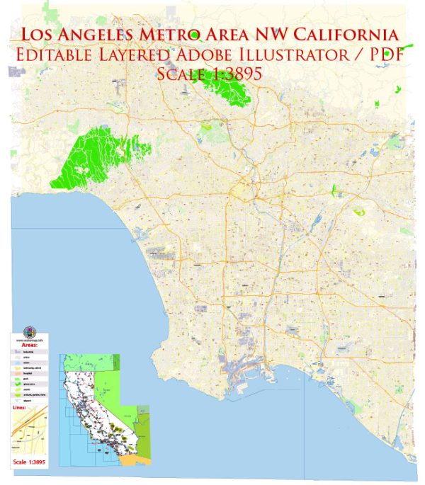
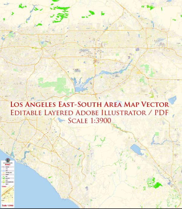
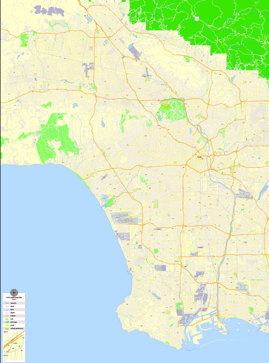
- Freeways and Highways: Los Angeles is known for its extensive network of freeways and highways. Some of the major ones include the I-5, I-10, I-405, and I-110. These roadways are often congested, especially during rush hours, but they are essential for getting around the city and the surrounding region.
- Public Transit: The Los Angeles County Metropolitan Transportation Authority (Metro) operates the city’s public transit system, which includes buses, commuter trains, and a subway system. The Metro Rail consists of multiple lines, such as the Red Line, Purple Line, Gold Line, and Expo Line, connecting various parts of the city.
- Cycling: Los Angeles has been making efforts to become more bike-friendly. It has a network of bike lanes and bike-sharing programs like Metro Bike Share. Many neighborhoods in the city are now more accommodating to cyclists.
- Walking: In certain neighborhoods, particularly in the downtown area, walking can be a convenient mode of transportation. Sidewalks and pedestrian-friendly areas have been improved in recent years to encourage walking.
- Ride-Sharing Services: Companies like Uber and Lyft operate throughout Los Angeles, providing an alternative to traditional taxis. Ride-sharing services are widely used in the city.
- Taxis and Car Rentals: Traditional taxi services and car rental agencies are available for those who prefer the flexibility of having their own vehicle.
- Metrolink: Metrolink is a commuter rail system serving Southern California, including Los Angeles. It connects the city to other nearby regions, making it a convenient option for those who live in the suburbs and work in the city.
- Airports: Los Angeles International Airport (LAX) is one of the busiest airports in the world and serves as a major hub for domestic and international travel. Other smaller airports in the area include Bob Hope Airport (Burbank) and Long Beach Airport.
- Port of Los Angeles: As one of the busiest ports in the United States, the Port of Los Angeles plays a crucial role in transporting goods and commodities into and out of the city.
- Carpool and Express Lanes: Los Angeles has several carpool and express lanes on its freeways, which can help reduce travel times during peak hours for those who carpool or use them.
- Future Initiatives: The city has been investing in expanding and improving its transportation system, with plans for more Metro Rail lines, bus rapid transit routes, and pedestrian-friendly developments.
It’s important to note that Los Angeles is known for its traffic congestion, so commuters often need to plan their journeys carefully to avoid the worst of the gridlock. Additionally, the transportation landscape is continually evolving to address the city’s unique challenges and to promote more sustainable and efficient modes of transportation.

 Author: Kirill Shrayber, Ph.D.