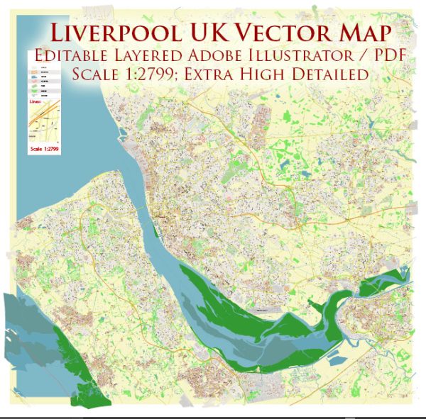
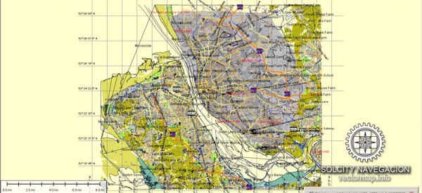
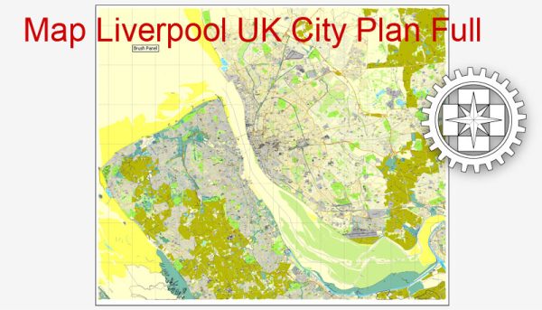
Liverpool, in the United Kingdom, has a well-developed transport system that includes various modes of transportation to help residents and visitors get around the city and its surrounding areas. Here’s an overview of Liverpool’s transport system:
- Merseyrail: Merseyrail is the city’s suburban rail network, connecting Liverpool with various destinations in the surrounding region, including Wirral and Southport. It’s a convenient way to travel within the city and explore nearby areas.
- Buses: Liverpool has an extensive bus network operated by several companies, including Arriva and Stagecoach. Buses cover the entire city, making it easy to reach different neighborhoods and suburbs.
- Ferries: The iconic Mersey Ferries offer a unique way to see the city from the water. These ferries connect Liverpool to the Wirral Peninsula, providing both a practical means of transport and a scenic journey.
- Liverpool Lime Street: Liverpool Lime Street is the city’s main railway station, connecting Liverpool to other major cities in the UK, including London, Manchester, and Birmingham. The station is a central hub for both regional and national rail services.
- Liverpool John Lennon Airport: This international airport is located in the South of the city, providing domestic and international flights. It’s well-connected to the city center by road and public transport.
- Taxis: Taxis are readily available throughout the city, and you can easily flag one down or book a ride through various taxi companies. Services like Uber are also available.
- Cycling: Liverpool is working to become a more cycle-friendly city. It has developed cycling lanes and bike-sharing programs to encourage more people to cycle.
- Walking: Liverpool is a compact city, and many areas of interest are within walking distance of each other. There are pedestrian-friendly zones in the city center, making it easy to explore on foot.
- Roads and Highways: The city is well-connected to the UK road network, making it accessible by car. The M62 motorway connects Liverpool to the rest of the country. However, traffic congestion can be an issue during peak hours.
- Trams: Liverpool once had a tram system but discontinued it in the 1950s. There have been discussions and plans to reintroduce trams in the city, but as of my last knowledge update in September 2023, these plans were still in the development stage.


 Author: Kirill Shrayber, Ph.D. FRGS