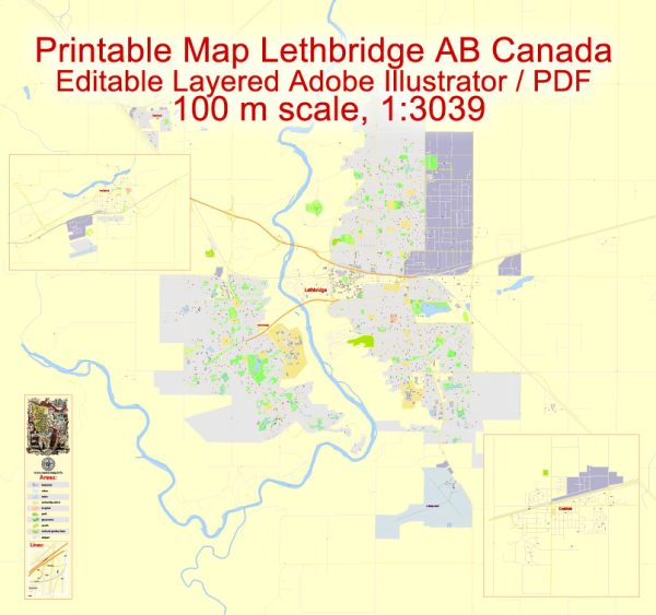
Lethbridge, Coaldale, and Fort Macleod are all located in the province of Alberta, Canada. Here’s a brief geographical description of each of these places:
- Lethbridge:
- Lethbridge is the largest city in southern Alberta and is situated along the Oldman River in the southern part of the province.
- It is known for its scenic coulees (deep ravines or valleys) and the high level of sunshine it receives, making it one of the sunniest cities in Canada.
- The city is located on the prairies but is surrounded by the natural beauty of the coulees, which provide recreational opportunities and hiking trails.
- Coaldale:
- Coaldale is a town located to the east of Lethbridge, Alberta, in the County of Lethbridge.
- Like Lethbridge, Coaldale is situated in a prairie landscape, with a primarily agricultural and residential focus.
- The town is in close proximity to Lethbridge and shares a similar climate and geography, with a relatively flat topography.
- Fort Macleod:
- Fort Macleod is a town in southwestern Alberta, situated along the Oldman River, and is located approximately 30 kilometers west of Lethbridge.
- It is known for its rich history, particularly its association with the Royal Canadian Mounted Police (RCMP), as it was one of the first posts established in the Canadian West by the North-West Mounted Police (NWMP), the precursor to the RCMP.
- The town has historic buildings and a scenic setting along the river, making it a popular destination for history enthusiasts and tourists.
These communities are part of the southern Alberta region and share a prairie landscape, with a combination of urban and rural areas. They offer a mix of natural beauty, agricultural activity, and historical significance, with a strong Western Canadian culture.


 Author: Kirill Shrayber, Ph.D. FRGS