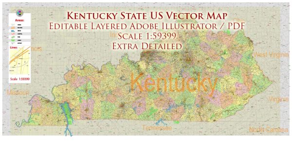
Kentucky does not have an extensive state-owned or operated railway system. Instead, it is served by various private railway companies that operate within the state. The railway system in Kentucky is primarily part of the larger national rail network in the United States. Some of the major railway companies that have a presence in Kentucky include:
- CSX Transportation: CSX operates an extensive rail network in Kentucky, with lines connecting major cities and industrial areas in the state.
- Norfolk Southern Railway: Norfolk Southern also has a significant presence in Kentucky, serving various freight transportation needs.
- Paducah and Louisville Railway: This is a regional railway company that operates in western Kentucky, serving industrial areas and providing connections to larger rail networks.
- R.J. Corman Railroad Group: R.J. Corman is a regional railroad company with various lines in Kentucky, primarily serving the central and eastern parts of the state.
These railway companies primarily handle freight transportation, moving goods and raw materials to and from Kentucky’s industrial and manufacturing hubs. There is limited passenger rail service in Kentucky, with Amtrak providing intercity passenger rail service at a few stations.
For specific information on rail routes, schedules, and services within Kentucky, you should consult the individual railway companies operating in the state or visit the official website of the Kentucky Transportation Cabinet, which may provide updates on rail infrastructure and projects.


 Author: Kirill Shrayber, Ph.D. FRGS